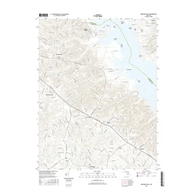
2016 Map of Mechanicsville
USGS Topo · Published 2016About this map
Golden Beach and the Patuxent River shoreline dominate the northern landscape of this Southern Maryland survey. Moving inland, the terrain transitions into the agricultural and wooded uplands of Saint Mary's County, where small settlements like Mechanicsville and Oraville are linked by Three Notch Rd and Point Lookout Rd. This modern topographical record shows a pattern of residential growth near the water contrasted with the deep-rooted rural character of the interior.
Find a feature on this map
56 named features on this map. Tap any name to fly to it.
Don’t see what you’re looking for? This feature index may not catch every label — zoom into the map to look around manually.
Map Details
Editions of this 2016 Mechanicsville Map
This is the sole edition of this map. No revisions or reprints were ever made.
Other maps of this area

1892 · Leonardtown
USGS Topo · 1:62,500

1892 · Prince Frederick
USGS Topo · 1:62,500

1892 · Brandywine
USGS Topo · 1:62,500

1894 · Wicomico
USGS Topo · 1:62,500

1895 · Prince Frederick
USGS Topo · 1:62,500

1895 · Wicomico
USGS Topo · 1:62,500

1895 · Brandywine
USGS Topo · 1:62,500

1895 · Leonardtown
USGS Topo · 1:62,500

1895 · Nomini
USGS Topo · 1:125,000

1898 · Nomini
USGS Topo · 1:125,000