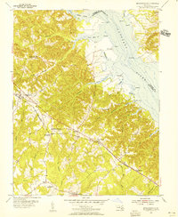
1953 Map of Mechanicsville
USGS Topo · Published 1956About this map
The Patuxent River shoreline defines the eastern edge of this mid-century survey, where the river meets a series of tidal creeks and marshes. Along the water, family-named points like Sothoron Pt and White Pt stand near small coastal landings such as Cremona and Trent Hall. Moving inland, the landscape transitions into the wooded drainages of Killpeck Swamp and Persimmon Run, characterized by a network of small runs and creeks that cut through the low hills of northern St. Mary's County.
Find a feature on this map
48 named features on this map. Tap any name to fly to it.
Don’t see what you’re looking for? This feature index may not catch every label — zoom into the map to look around manually.
Map Details
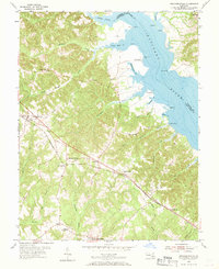
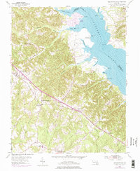
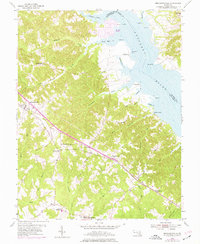
Editions of this 1953 Mechanicsville Map
4 editions found
Other maps of this area

1892 · Leonardtown
USGS Topo · 1:62,500

1892 · Prince Frederick
USGS Topo · 1:62,500

1892 · Brandywine
USGS Topo · 1:62,500

1894 · Wicomico
USGS Topo · 1:62,500

1895 · Prince Frederick
USGS Topo · 1:62,500

1895 · Wicomico
USGS Topo · 1:62,500

1895 · Brandywine
USGS Topo · 1:62,500

1895 · Leonardtown
USGS Topo · 1:62,500

1895 · Nomini
USGS Topo · 1:125,000

1898 · Nomini
USGS Topo · 1:125,000