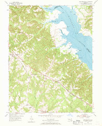
1953 Map of Mechanicsville
USGS Topo · Published 1970About this map
The Patuxent River shoreline and the deep creek systems of Southern Maryland define this early 1950s landscape. The map centers on the community of Mechanicsville, a critical junction where Government Road and Flora Corner Road met the local rail corridor. This era shows a distributed pattern of small crossroads settlements and educational institutions that served the agricultural community, such as St Joseph Sch and Brent High Sch.
Find a feature on this map
69 named features on this map. Tap any name to fly to it.
Don’t see what you’re looking for? This feature index may not catch every label — zoom into the map to look around manually.
Map Details
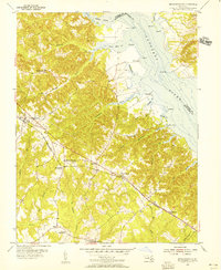
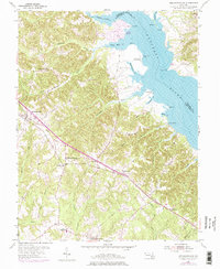
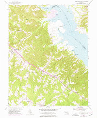
Editions of this 1953 Mechanicsville Map
4 editions found
Other maps of this area

1892 · Leonardtown
USGS Topo · 1:62,500

1892 · Prince Frederick
USGS Topo · 1:62,500

1892 · Brandywine
USGS Topo · 1:62,500

1894 · Wicomico
USGS Topo · 1:62,500

1895 · Prince Frederick
USGS Topo · 1:62,500

1895 · Wicomico
USGS Topo · 1:62,500

1895 · Brandywine
USGS Topo · 1:62,500

1895 · Leonardtown
USGS Topo · 1:62,500

1895 · Nomini
USGS Topo · 1:125,000

1898 · Nomini
USGS Topo · 1:125,000