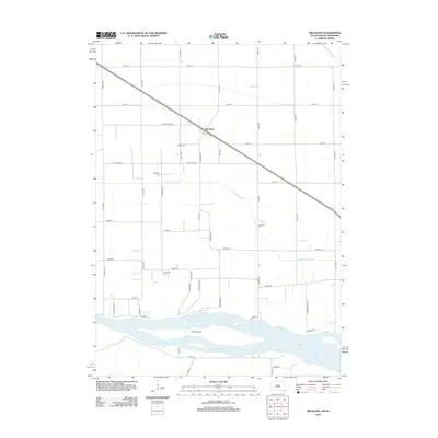
2012 Map of Meckling
USGS Topo · Published 2012About this map
Meckling stands as the primary settlement in this corner of Clay County, situated along a straight transportation corridor that cuts diagonally across a landscape dominated by agriculture and drainage systems. The surrounding plains are heavily modified by water management projects including the Yankton Clay Ditch and Clay Creek Ditch, which channel water toward the southern boundary. This southern edge is defined by the shifting braids and sandbars of the Missouri River, which holds the significant mass of Goat Island within its main channel.
Find a feature on this map
41 named features on this map. Tap any name to fly to it.
Don’t see what you’re looking for? This feature index may not catch every label — zoom into the map to look around manually.
Map Details
Editions of this 2012 Meckling Map
This is the sole edition of this map. No revisions or reprints were ever made.
Other maps of this area

1898 · Elk Point
USGS Topo · 1:125,000

1901 · Elk Point
USGS Topo · 1:125,000

1907 · Elk Point
USGS Topo · 1:125,000

1955 · Sioux City
USGS Topo · 1:250,000

1957 · Gayville
USGS Topo · 1:24,000

1958 · Sioux City
USGS Topo · 1:250,000

1959 · Sioux City
USGS Topo · 1:250,000

1964 · Maskell
USGS Topo · 1:24,000

1968 · Obert
USGS Topo · 1:24,000

1968 · St. Helena
USGS Topo · 1:24,000