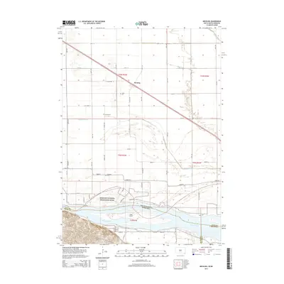
2015 Map of Meckling
USGS Topo · Published 2015About this map
Meckling sits along the northern edge of the Missouri River floodplain, defined by an intricate network of drainage and irrigation infrastructure like the Yankton Clay Ditch and Clay Co Ditch. This 2015 survey reveals the agricultural layout of Clay County, South Dakota, where the land transitions from the high prairie into the riparian corridor of the Missouri National Recreation River. Along the riverbank, Benson Lndg provides a historical reference point for river access and local commerce.
Find a feature on this map
47 named features on this map. Tap any name to fly to it.
Don’t see what you’re looking for? This feature index may not catch every label — zoom into the map to look around manually.
Map Details
Editions of this 2015 Meckling Map
This is the sole edition of this map. No revisions or reprints were ever made.
Other maps of this area

1898 · Elk Point
USGS Topo · 1:125,000

1901 · Elk Point
USGS Topo · 1:125,000

1907 · Elk Point
USGS Topo · 1:125,000

1955 · Sioux City
USGS Topo · 1:250,000

1957 · Gayville
USGS Topo · 1:24,000

1958 · Sioux City
USGS Topo · 1:250,000

1959 · Sioux City
USGS Topo · 1:250,000

1964 · Maskell
USGS Topo · 1:24,000

1968 · Obert
USGS Topo · 1:24,000

1968 · St. Helena
USGS Topo · 1:24,000