
1965 Map of Medano Ranch
USGS Topo · Published 1968About this map
Medano Ranch serves as a central hub in this high-altitude basin, where the hydrologic patterns of the San Luis Valley are meticulously recorded during the mid-1960s. The landscape is defined by its terminal lakes and artesian features, most notably the wide expanse of San Luis Lake and the nearby Head Lake. Numerous Flowing Wells and the isolated King Well dot the terrain, indicating the reliance on groundwater in this arid environment.
Find a feature on this map
15 named features on this map. Tap any name to fly to it.
Don’t see what you’re looking for? This feature index may not catch every label — zoom into the map to look around manually.
Map Details
Editions of this 1965 Medano Ranch Map
This is the sole edition of this map. No revisions or reprints were ever made.
Other maps of this area

1954 · Trinidad
USGS Topo · 1:250,000

1955 · Trinidad
USGS Topo · 1:250,000

1958 · Trinidad
USGS Topo · 1:250,000

1959 · Trinidad
USGS Topo · 1:250,000

1965 · Zapata Ranch
USGS Topo · 1:24,000

1965 · Dry Lakes
USGS Topo · 1:24,000

1965 · Twin Peaks
USGS Topo · 1:24,000
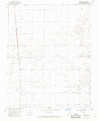
1966 · Hooper SE
USGS Topo · 1:24,000
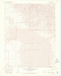
1967 · Liberty
USGS Topo · 1:24,000
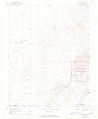
1967 · Sand Camp
USGS Topo · 1:24,000