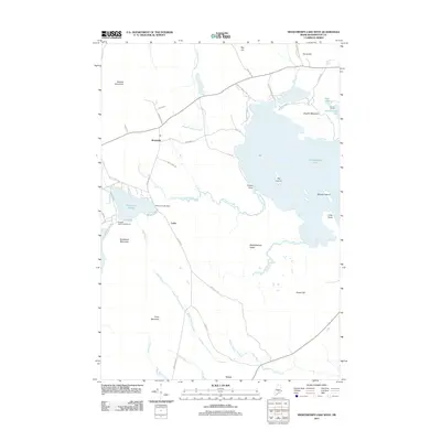
2011 Map of Meddybemps Lake West
USGS Topo · Published 2011About this map
Meddybemps Lake and its intricate western shoreline define this portion of Washington County, where a complex network of glacial waterways and wetlands characterizes the landscape. Small settlements like Alexander and Cedar are linked by a web of local roads such as Cooper Rd and Green Hill Rd, reflecting the area's rural development. To the east, the vast expanse of Meddybemps Heath contrasts with the elevation of Staples Mountain and Pineo Mountain.
Find a feature on this map
50 named features on this map. Tap any name to fly to it.
Don’t see what you’re looking for? This feature index may not catch every label — zoom into the map to look around manually.
Map Details
Editions of this 2011 Meddybemps Lake West Map
This is the sole edition of this map. No revisions or reprints were ever made.
Other maps of this area
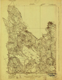
1929 · Calais
USGS Topo · 1:48,000
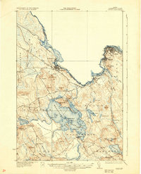
1932 · Calais
USGS Topo · 1:62,500
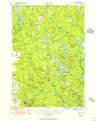
1941 · Wesley
USGS Topo · 1:62,500
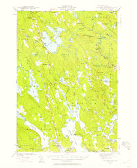
1941 · Gardner Lake
USGS Topo · 1:62,500
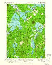
1941 · Big Lake
USGS Topo · 1:62,500
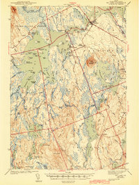
1943 · Big Lake
USGS Topo · 1:62,500
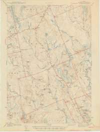
1943 · Wesley
USGS Topo · 1:62,500
1943 · Gardner Lake
USGS Topo · 1:62,500
1949 · Calais
USGS Topo · 1:24,000
1952 · Big Lake
USGS Topo · 1:50,000