Loading...
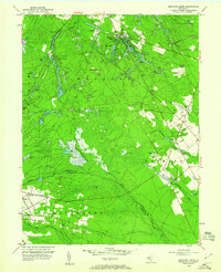
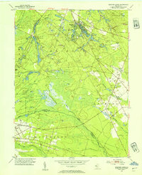
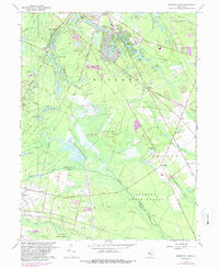
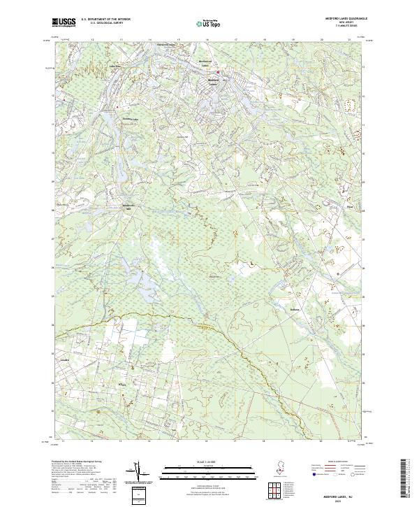
Loading map...1953 Map of Medford Lakes
USGS Topo · Published 1960About this map
Medford Lakes serves as the focal point of this mid-century Pine Barrens landscape, characterized by a complex network of private lakes and extensive agriculture. Numerous Cranberry Bogs define the local economy, particularly surrounding the West Jersey Cranberry Meadow and along the Mullica River Atsion Branch. The map reveals a transition from these managed wetlands to more secluded water bodies such as Lake Mishe-Mokwa, Lake Stockwell, and Squaw Lake.
Find a feature on this map
41 named features on this map. Tap any name to fly to it.
Don’t see what you’re looking for? This feature index may not catch every label — zoom into the map to look around manually.
Map Details
Date Portrayed1953
Date Published1960
PublisherU.S. Geological Survey
Map TypeTopographic
Scale1:24,000
Physical Dimensions22 x 27.1 inches
Editions of this 1953 Medford Lakes Map
2 editions found
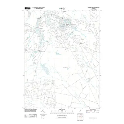
Historical Maps of Medford Township Through Time
7 maps found
Featured Locations
- Waterford Township, NJ
- Shamong Township, NJ
- Southampton Township, NJ
- Tabernacle Township, NJ
- Medford Township, NJ
Source Details
SourceU.S. Geological Survey
CopyrightPublic Domain