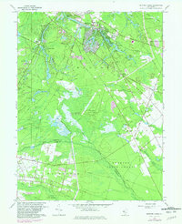
1967 Map of Medford Lakes
USGS Topo · Published 1982About this map
The wooded Pines region of central New Jersey is defined here by an intricate network of lakes and cranberry bogs, many established along the Atsion River and Mullica River headwaters. Medford Lakes serves as the primary residential hub, characterized by a dense cluster of small waterways like Upper Aetna Lake and Papoose Lake, alongside civic landmarks such as St Mary of the Lakes Ch and Medford Lakes Sch No 2.
Find a feature on this map
55 named features on this map. Tap any name to fly to it.
Don’t see what you’re looking for? This feature index may not catch every label — zoom into the map to look around manually.
Map Details
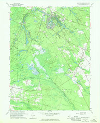
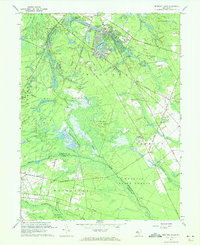
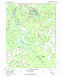
Editions of this 1967 Medford Lakes Map
4 editions found
Other maps of this area

1888 · Pemberton
USGS Topo · 1:62,500

1888 · Mount Holly
USGS Topo · 1:62,500

1890 · Hammonton
USGS Topo · 1:62,500

1890 · Mullica
USGS Topo · 1:62,500

1894 · Hammonton
USGS Topo · 1:62,500

1894 · Pemberton
USGS Topo · 1:62,500

1894 · Mount Holly
USGS Topo · 1:62,500

1894 · Mullica
USGS Topo · 1:62,500

1898 · Pemberton
USGS Topo · 1:62,500

1898 · Mount Holly
USGS Topo · 1:62,500
Featured Places
- Medford Township, NJ
- Southampton Township, NJ
- Tabernacle Township, NJ
- Waterford Township, NJ
- Shamong Township, NJ