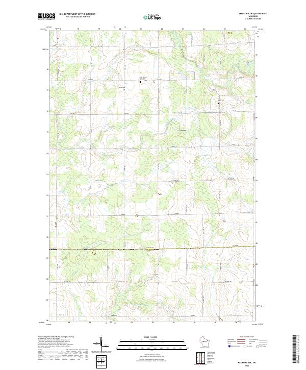
2022 Map of Medford SW
USGS Topo · Published 2022About this map
Black River meanders through this agricultural landscape on the border of Taylor and Clark counties. The area is defined by a dense grid of rural roads and scattered homesteads, reflecting a persistent pattern of Midwestern dairy and family farming. Several small burial grounds and places of worship serve as the primary local landmarks, including the Our Saviours Lutheran Church Cem and the Amish Cem, indicating a community with diverse denominational roots. To the east, the Little Black Cem sits near the headwaters of Pine Creek. The terrain is drained by several small tributaries such as Trappers Cr, which wind through the township and range divisions that have structured this region since its early settlement. This survey provides a precise look at the rural infrastructure of central Wisconsin, showing the network of county highways and town roads that connect these quiet agrarian tracts.
Find a feature on this map
46 named features on this map. Tap any name to fly to it.
Don’t see what you’re looking for? This feature index may not catch every label — zoom into the map to look around manually.
Map Details
Editions of this 2022 Medford SW Map
This is the sole edition of this map. No revisions or reprints were ever made.
Other maps of this area

1951 · Lublin
USGS Topo · 1:48,000

1951 · Medford
USGS Topo · 1:48,000

1953 · Abbotsford
USGS Topo · 1:48,000

1953 · Owen
USGS Topo · 1:48,000

1953 · Eau Claire
USGS Topo · 1:250,000

1953 · Rice Lake
USGS Topo · 1:250,000

1958 · Eau Claire
USGS Topo · 1:250,000

1959 · Rice Lake
USGS Topo · 1:250,000

1963 · Abbotsford
USGS Topo · 1:62,500

1963 · Owen
USGS Topo · 1:62,500