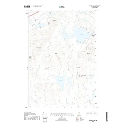
2018 Map of Meduxnekeag Lake
USGS Topo · Published 2018About this map
Meduxnekeag Lake and the surrounding high ground of southern Aroostook County define this northern landscape, where water and timber dictate the local geography. The settlement at Timoney and the nearby Timoney Cem reflect the small-scale upland farming and logging communities that shaped the region. Ridges and peaks such as Timoney Mtn, Sam Drew Mtn, and Byron Mtn separate complex drainage basins including the E Br Mattawamkeag River and Skitacook Lake. Local history is anchored at the Oakfield Cem near Oakfield Hills, while the network of named roads like Spaulding Lake Rd and Skitacook Ln provides access to the numerous glacial ponds and brooks, including Spaulding Lake, Gould Pond, and Bear Brook.
Find a feature on this map
57 named features on this map. Tap any name to fly to it.
Don’t see what you’re looking for? This feature index may not catch every label — zoom into the map to look around manually.
Map Details
Editions of this 2018 Meduxnekeag Lake Map
This is the sole edition of this map. No revisions or reprints were ever made.
Other maps of this area

1937 · Smyrna Mills
USGS Topo · 1:62,500

1938 · Houlton
USGS Topo · 1:62,500

1940 · Amity
USGS Topo · 1:62,500

1941 · Amity
USGS Topo · 1:62,500

1941 · Mattawamkeag Lake
USGS Topo · 1:62,500

1943 · Amity
USGS Topo · 1:62,500

1943 · Mattawamkeag Lake
USGS Topo · 1:62,500

1951 · Houlton
USGS Topo · 1:62,500

1954 · Presque Isle
USGS Topo · 1:250,000

1954 · Millinocket
USGS Topo · 1:250,000