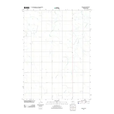
2011 Map of Meek SW
USGS Topo · Published 2011About this map
Honey Creek and Blackbird Creek wind through this rural section of Holt County, defining a landscape shaped by the drainage patterns of northern Nebraska. The area is characterized by a precise grid of agricultural service roads, including north-south corridors like 490th Ave and 493rd Ave, which facilitate movement across the open plains. These routes intersect with East-west paths such as 876th Rd and 875th Rd, marking the section lines common to the American West's Public Land Survey System. In the southern portion of the map, Redbird Creek cuts across the terrain, while the presence of Oil Rd and Co Oil Rd suggests the localized infrastructure supporting the region's energy and agricultural sectors. This survey provides a clear view of the rural township structure before modern expansion might alter these established property and transit lines.
Find a feature on this map
12 named features on this map. Tap any name to fly to it.
Don’t see what you’re looking for? This feature index may not catch every label — zoom into the map to look around manually.
Map Details
Editions of this 2011 Meek SW Map
This is the sole edition of this map. No revisions or reprints were ever made.
Other maps of this area

1954 · Atkinson SE
USGS Topo · 1:24,000

1954 · Meek NE
USGS Topo · 1:24,000

1954 · Opportunity
USGS Topo · 1:24,000

1954 · Meek SW
USGS Topo · 1:24,000

1954 · Meek
USGS Topo · 1:24,000

1954 · Atkinson NE
USGS Topo · 1:24,000

1955 · O'Neill
USGS Topo · 1:250,000

1958 · O'Neill
USGS Topo · 1:24,000

1958 · Inman
USGS Topo · 1:24,000

1959 · O'Neill
USGS Topo · 1:250,000