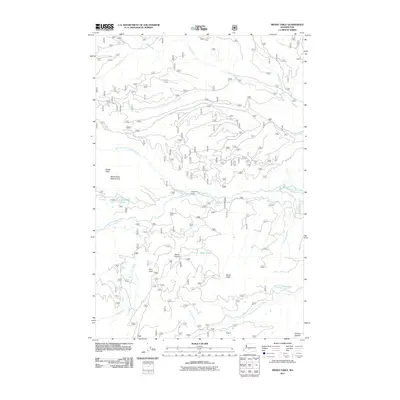
2011 Map of Meeks Table
USGS Topo · Published 2011About this map
Meeks Table and its namesake Meeks Table Natural Area dominate this high-elevation landscape in Yakima County. The terrain is defined by a complex drainage system where Nile Creek flows through the northern reaches while Rattlesnake Creek and its various forks carve through the central and southern sections. This 2011 survey documents a largely roadless area, with only NFD 645 RD providing vehicular access in the northeast. The map provides precise locations for isolated features like Mount Aix Vista and Devils Table, alongside small water bodies such as McDaniel Lake and Angel Lake. Near the southern boundary, the label Grouse Heaven suggests a specific localized place name of interest to those studying the recreational or naming history of this part of the Cascades. The network of seasonal streams like Dry Creek and permanent springs like Rattlesnake Spring highlights the importance of water sources in this high-country environment.
Find a feature on this map
26 named features on this map. Tap any name to fly to it.
Don’t see what you’re looking for? This feature index may not catch every label — zoom into the map to look around manually.
Map Details
Editions of this 2011 Meeks Table Map
This is the sole edition of this map. No revisions or reprints were ever made.
Other maps of this area

1899 · Ellensburg
USGS Topo · 1:125,000

1901 · Ellensburg
USGS Topo · 1:125,000

1902 · Mount Aix
USGS Topo · 1:125,000

1904 · Mt Aix
USGS Topo · 1:125,000

1950 · Yakima
USGS Topo · 1:250,000

1958 · Yakima
USGS Topo · 1:250,000

1961 · Yakima
USGS Topo · 1:250,000

1967 · Rimrock Lake
USGS Topo · 1:24,000

1967 · Tieton Basin
USGS Topo · 1:24,000

1971 · Nile
USGS Topo · 1:24,000