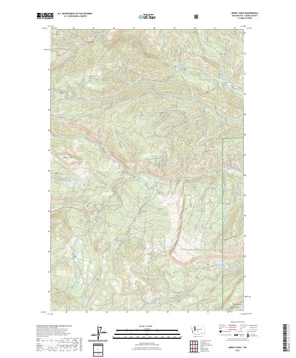
2023 Map of Meeks Table
USGS Topo · Published 2023About this map
Meeks Table stands as a prominent volcanic plateau within the high country of the Snoqualmie National Forest, marking a landscape defined by deep drainages and sharp ridgelines. This territory is split between protected lands, with the western portion falling under the William O Douglas Wilderness. The terrain is deeply incised by waterway systems such as Nile Creek to the north and Rattlesnake Creek to the south, which have carved significant features like Devils Canyon.
Find a feature on this map
36 named features on this map. Tap any name to fly to it.
Don’t see what you’re looking for? This feature index may not catch every label — zoom into the map to look around manually.
Map Details
Editions of this 2023 Meeks Table Map
This is the sole edition of this map. No revisions or reprints were ever made.
Other maps of this area

1899 · Ellensburg
USGS Topo · 1:125,000

1901 · Ellensburg
USGS Topo · 1:125,000

1902 · Mount Aix
USGS Topo · 1:125,000

1904 · Mt Aix
USGS Topo · 1:125,000

1950 · Yakima
USGS Topo · 1:250,000

1958 · Yakima
USGS Topo · 1:250,000

1961 · Yakima
USGS Topo · 1:250,000

1967 · Rimrock Lake
USGS Topo · 1:24,000

1967 · Tieton Basin
USGS Topo · 1:24,000

1971 · Nile
USGS Topo · 1:24,000