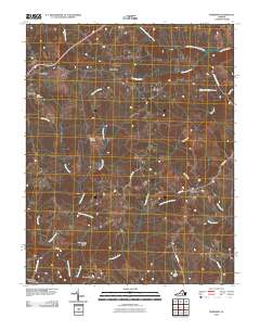
2010 Map of Meherrin
USGS Topo · Published 2010About this map
The North Fork Nottoway River and North Meherrin River anchor a rural Piedmont landscape defined by old crossroads and family-held lands. Small communities and commercial outposts like Arvins Store, Nutbush, and Moores Corner show the enduring pattern of Virginia's inland settlement, where local life centered around junctions and mill ponds. The terrain is deeply carved by a dense network of waterways, including Ledbetter Creek, Sewish Creek, and the dry bed of Dry Creek, all feeding into the larger river systems. Genealogists will find interest in the documented burial sites such as Bruce Cemetery near Bruceville and Spencer Cemetery further south. Notable water-management and transport landmarks, including the Blakenship Mill Pond, Bragg Dam, and the crossing at Double Bridges, reflect how the inhabitants navigated and utilized the local hydrology in the early 21st century.
Find a feature on this map
31 named features on this map. Tap any name to fly to it.
Don’t see what you’re looking for? This feature index may not catch every label — zoom into the map to look around manually.
Map Details
Editions of this 2010 Meherrin Map
This is the sole edition of this map. No revisions or reprints were ever made.
Other maps of this area

1891 · Farmville
USGS Topo · 1:125,000

1893 · Farmville
USGS Topo · 1:125,000

1947 · Roanoke
USGS Topo · 1:250,000

1953 · Greensboro
USGS Topo · 1:250,000

1954 · Greensboro
USGS Topo · 1:250,000

1955 · Chase City
USGS Topo · 1:62,500

1955 · Kenbridge
USGS Topo · 1:62,500

1958 · Crewe
USGS Topo · 1:62,500

1958 · Keysville
USGS Topo · 1:62,500

1959 · Roanoke
USGS Topo · 1:250,000