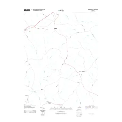
2013 Map of Meherrin
USGS Topo · Published 2013About this map
The N Meherrin River and N Fork Nottoway River serve as the primary drainage for this Southside Virginia landscape, where small rural crossroads define the settlement pattern. At the intersection of 360 and Va-728, the community of Meherrin anchors the northwestern corner, while south toward the river, Arvins Store and Moores Corner represent traditional local hubs near the landmark known as Double Bridges.
Find a feature on this map
72 named features on this map. Tap any name to fly to it.
Don’t see what you’re looking for? This feature index may not catch every label — zoom into the map to look around manually.
Map Details
Editions of this 2013 Meherrin Map
This is the sole edition of this map. No revisions or reprints were ever made.
Other maps of this area

1891 · Farmville
USGS Topo · 1:125,000

1893 · Farmville
USGS Topo · 1:125,000

1947 · Roanoke
USGS Topo · 1:250,000

1953 · Greensboro
USGS Topo · 1:250,000

1954 · Greensboro
USGS Topo · 1:250,000

1955 · Chase City
USGS Topo · 1:62,500

1955 · Kenbridge
USGS Topo · 1:62,500

1958 · Crewe
USGS Topo · 1:62,500

1958 · Keysville
USGS Topo · 1:62,500

1959 · Roanoke
USGS Topo · 1:250,000