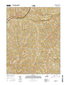
2016 Map of Meherrin
USGS Topo · Published 2016About this map
Meherrin and the surrounding borderlands of Prince Edward and Lunenburg counties are defined by a network of small watercourses feeding the Nottoway River and N Meherrin River. This 2016 survey highlights a predominantly rural landscape where traditional crossroads settlements like Nutbush and Scholfield anchor a complex web of secondary roads. The terrain is deeply etched by numerous creeks, including Tussekiah Cr and Little Ledbetter Cr, which historically influenced the placement of early homesteads and cemeteries.
Find a feature on this map
61 named features on this map. Tap any name to fly to it.
Don’t see what you’re looking for? This feature index may not catch every label — zoom into the map to look around manually.
Map Details
Editions of this 2016 Meherrin Map
This is the sole edition of this map. No revisions or reprints were ever made.
Other maps of this area

1891 · Farmville
USGS Topo · 1:125,000

1893 · Farmville
USGS Topo · 1:125,000

1947 · Roanoke
USGS Topo · 1:250,000

1953 · Greensboro
USGS Topo · 1:250,000

1954 · Greensboro
USGS Topo · 1:250,000

1955 · Chase City
USGS Topo · 1:62,500

1955 · Kenbridge
USGS Topo · 1:62,500

1958 · Crewe
USGS Topo · 1:62,500

1958 · Keysville
USGS Topo · 1:62,500

1959 · Roanoke
USGS Topo · 1:250,000