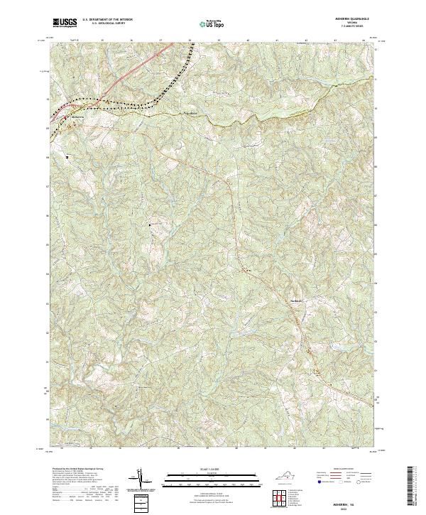
2022 Map of Meherrin
USGS Topo · Published 2022About this map
Meherrin and Scholfield anchor this rural landscape along the border of Prince Edward and Lunenburg counties. The topography is defined by the headwaters of the N Fork Nottoway River and the N Meherrin River, with numerous tributaries like Tussekiah Cr and Ledbetter Cr carving a complex network of ridges and valleys. This modern survey illustrates the repurposing of the region's historic rail corridors into the Tobacco Heritage Trl, which winds through the central portion of the quadrangle. Local genealogy is preserved at sites like Bruce Cem and Spencer Cem, while the agrarian and industrial past is reflected in landmarks such as Blakenship Mill Pond. The map provides a detailed view of current road networks, including Moores Ordinary Rd and Old Peach Tree Rd, showing the continued settlement patterns in the community of Nutbush.
Find a feature on this map
64 named features on this map. Tap any name to fly to it.
Don’t see what you’re looking for? This feature index may not catch every label — zoom into the map to look around manually.
Map Details
Editions of this 2022 Meherrin Map
This is the sole edition of this map. No revisions or reprints were ever made.
Other maps of this area

1891 · Farmville
USGS Topo · 1:125,000

1893 · Farmville
USGS Topo · 1:125,000

1947 · Roanoke
USGS Topo · 1:250,000

1953 · Greensboro
USGS Topo · 1:250,000

1954 · Greensboro
USGS Topo · 1:250,000

1955 · Chase City
USGS Topo · 1:62,500

1955 · Kenbridge
USGS Topo · 1:62,500

1958 · Crewe
USGS Topo · 1:62,500

1958 · Keysville
USGS Topo · 1:62,500

1959 · Roanoke
USGS Topo · 1:250,000