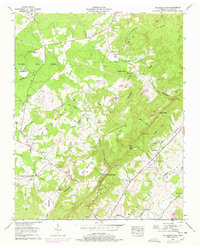
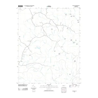
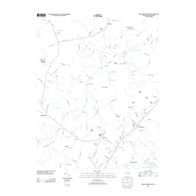
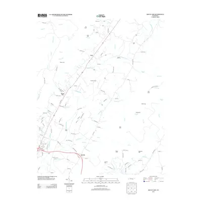
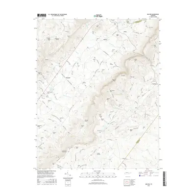
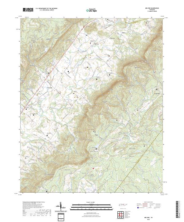
1935 Map of Melvine
USGS Topo · Published 1935About this map
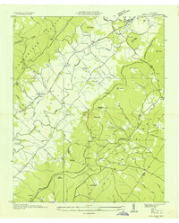
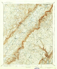
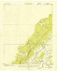
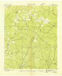
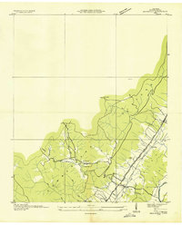
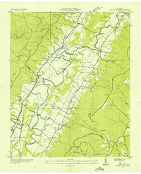
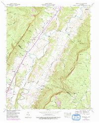
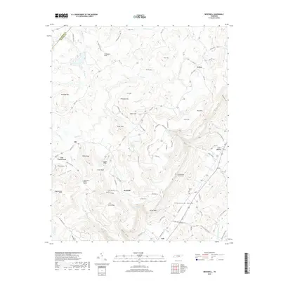
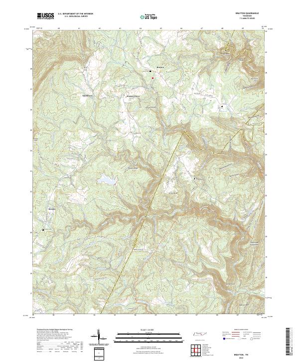
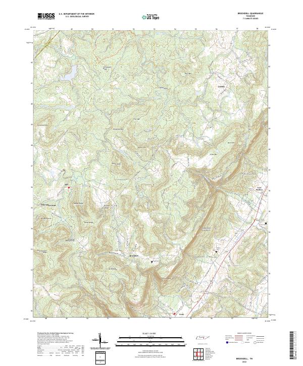
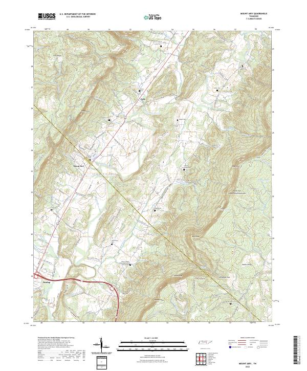
The Sequatchie River carves a deep valley through the heart of the Cumberland Plateau in this 1935 study, where small farming communities and family homesteads are concentrated along the water and the Alvin C York Highway. The settlement patterns of the mid-1930s are clearly visible, with central gathering places like Melvine and Litton serving as local hubs. This era shows a landscape dotted with rural educational and religious sites, such as Sunny Meadow Sch and Red Hill Ch, reflecting the self-contained nature of mountain life before widespread modernization. Numerous family-named cemeteries, including the Litton Cem and Walker Cem, underscore the deep-rooted genealogical history of the region. Steep ridges like Walden Ridge and distinctive gaps such as Beatty Gap defined the movement of people and trade through this part of Bledsoe County.
Find a feature on this map
85 named features on this map. Tap any name to fly to it.
Don’t see what you’re looking for? This feature index may not catch every label — zoom into the map to look around manually.
Map Details
Editions of this 1935 Melvine Map
This is the sole edition of this map. No revisions or reprints were ever made.
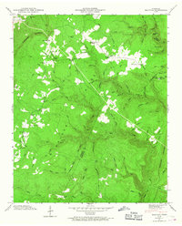
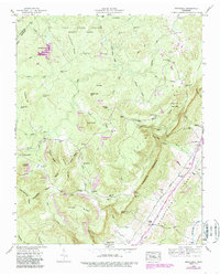
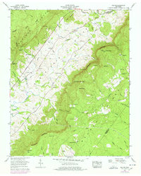
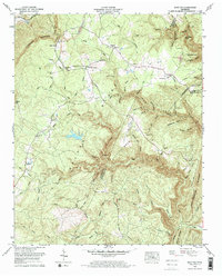
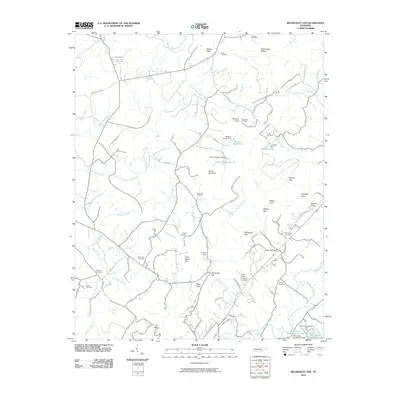
Historical Maps of Litton Through Time
41 maps found

1909 Sequatchie Valley
Bledsoe County, TN
1910 Sequatchie Valley
Bledsoe County, TN
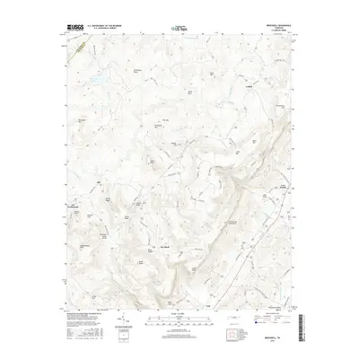
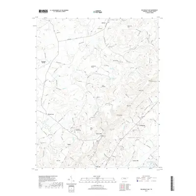
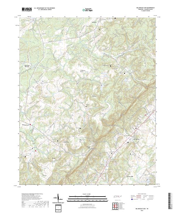
1935 Billingsley Gap
Bledsoe County, TN
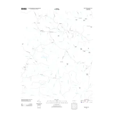
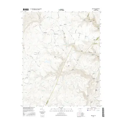
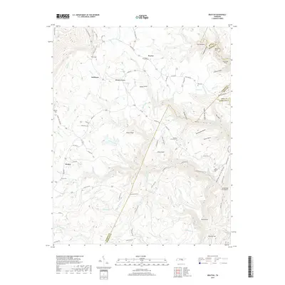
1935 Brayton
Bledsoe County, TN
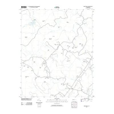
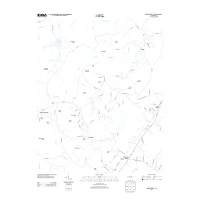
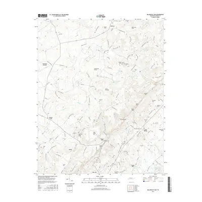
1935 Brockdell
Bledsoe County, TN
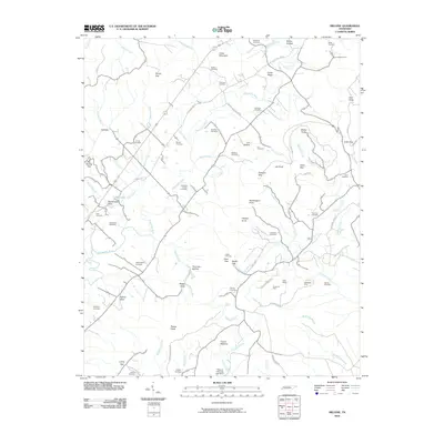
1935 Melvine
Bledsoe County, TN
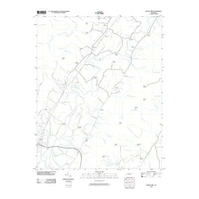
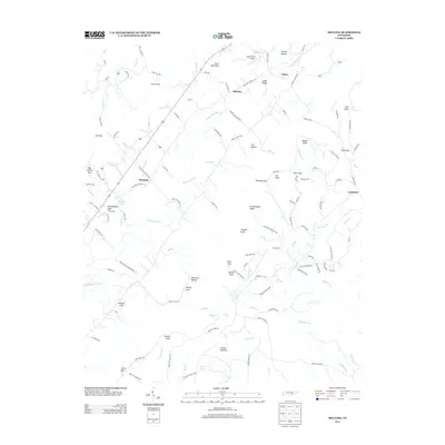
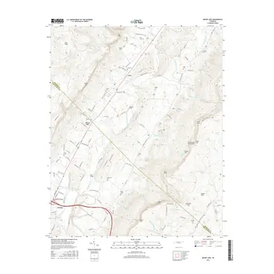
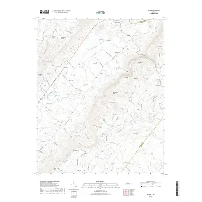
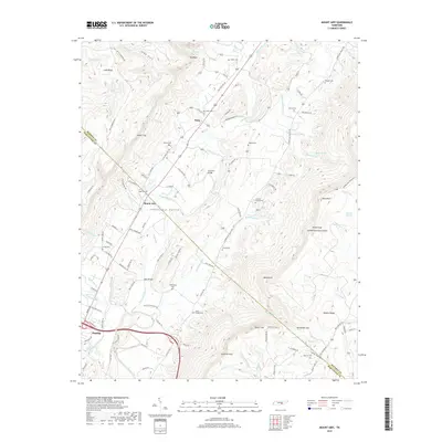
1935 Mount Airy
Bledsoe County, TN
1946 Brayton
Bledsoe County, TN
1946 Brockdell
Bledsoe County, TN
1946 Mount Airy
Bledsoe County, TN
1947 Brayton
Bledsoe County, TN
1947 Brockdell
Bledsoe County, TN
1947 Mount Airy
Bledsoe County, TN
1956 Billingsley Gap
Bledsoe County, TN
1956 Melvine
Bledsoe County, TN
1972 Brayton
Bledsoe County, TN
2010 Billingsley Gap
Bledsoe County, TN
2010 Brayton
Bledsoe County, TN
2010 Brockdell
Bledsoe County, TN
2010 Melvine
Bledsoe County, TN
2010 Mount Airy
Bledsoe County, TN
2013 Billingsley Gap
Bledsoe County, TN
2013 Brayton
Bledsoe County, TN
2013 Brockdell
Bledsoe County, TN
2013 Melvine
Bledsoe County, TN
2013 Mount Airy
Bledsoe County, TN
2016 Billingsley Gap
Bledsoe County, TN
2016 Brayton
Bledsoe County, TN
2016 Brockdell
Bledsoe County, TN
2016 Melvine
Bledsoe County, TN
2016 Mount Airy
Bledsoe County, TN
2019 Billingsley Gap
Bledsoe County, TN
2019 Brayton
Bledsoe County, TN
2019 Brockdell
Bledsoe County, TN
2019 Melvine
Bledsoe County, TN
2019 Mount Airy
Bledsoe County, TN
2022 Billingsley Gap
Bledsoe County, TN
2022 Brayton
Bledsoe County, TN
2022 Brockdell
Bledsoe County, TN
2022 Melvine
Bledsoe County, TN
2022 Mount Airy
Bledsoe County, TN