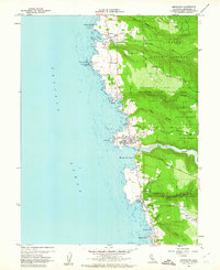
1960 Map of Mendocino
USGS Topo · Published 1962About this map
Mendocino and the rugged coastal settlements of the 1960s are meticulously detailed in this survey of the northern California coastline. The maritime legacy of the region is anchored by the Point Cabrillo Light Station, while the town of Mendocino itself is clearly defined by its street grid, featuring local landmarks like the Union High Sch, Hillcrest Cem, and Evergreen Cem. This era shows a landscape transitioning between its industrial roots and a growing identity as a coastal destination, with the sprawling Jackson State Forest bordering protected areas like Russian Gulch State Park and Van Damme Beach State Park.
Find a feature on this map
54 named features on this map. Tap any name to fly to it.
Don’t see what you’re looking for? This feature index may not catch every label — zoom into the map to look around manually.
Map Details
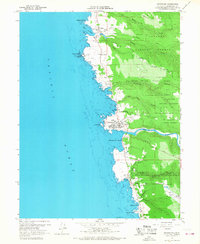
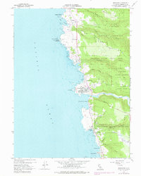
Editions of this 1960 Mendocino Map
3 editions found
Other maps of this area

1920 · Glenblair
USGS Topo · 1:62,500

1920 · Fort Bragg
USGS Topo · 1:62,500

1943 · Glenblair
USGS Topo · 1:62,500

1943 · Fort Bragg
USGS Topo · 1:62,500

1943 · Albion
USGS Topo · 1:62,500

1943 · Navarro
USGS Topo · 1:62,500

1944 · Saddle Point
USGS Topo · 1:62,500

1957 · Ukiah
USGS Topo · 1:250,000

1960 · Ukiah
USGS Topo · 1:250,000
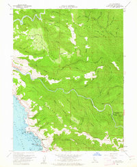
1960 · Elk
USGS Topo · 1:24,000