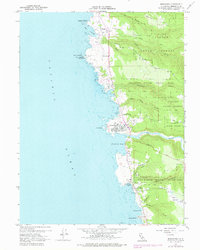
1960 Map of Mendocino
USGS Topo · Published 1978About this map
Mendocino sits prominently on its coastal headland, defined by its historic grid and prominent structures like the Union High Sch near the center of town. This 1960s perspective reveals the coastal settlements of Caspar and Little River as they existed before modern expansion, connected by the scenic winding routes of Heeser Dr and the interior Comptche Road. The landscape is heavily marked by the timber and conservation heritage of Jackson State Forest, with numerous drainages like Russian Gulch and Jack Peters Gulch cutting through the terrain toward the Pacific Ocean. On the rocky coastline, the Point Cabrillo Light Station stands as a critical maritime landmark, while the deep cut of the Big River provides a natural boundary between the Mendocino headlands and the southern coastal terraces. For genealogists, the map identifies three distinct burial sites: Hillcrest Cem, Evergreen Cem, and Little River Cem.
Find a feature on this map
45 named features on this map. Tap any name to fly to it.
Don’t see what you’re looking for? This feature index may not catch every label — zoom into the map to look around manually.
Map Details
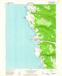
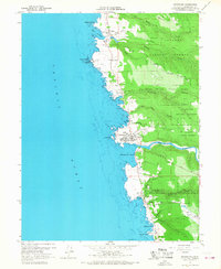
Editions of this 1960 Mendocino Map
3 editions found
Other maps of this area

1920 · Glenblair
USGS Topo · 1:62,500

1920 · Fort Bragg
USGS Topo · 1:62,500

1943 · Glenblair
USGS Topo · 1:62,500

1943 · Fort Bragg
USGS Topo · 1:62,500

1943 · Albion
USGS Topo · 1:62,500

1943 · Navarro
USGS Topo · 1:62,500

1944 · Saddle Point
USGS Topo · 1:62,500

1957 · Ukiah
USGS Topo · 1:250,000

1960 · Ukiah
USGS Topo · 1:250,000
1960 · Elk
USGS Topo · 1:24,000