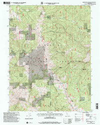
1996 Map of Mendocino Pass
USGS Topo · Published 2001About this map
Mendocino Pass serves as a critical high-elevation gateway within the Mendocino National Forest, where the boundaries of Mendocino, Tehama, and Glenn counties converge. This 1996 revision, based on earlier mid-century topography, documents a landscape defined by isolated homesteads and forest service infrastructure. Notable family-named sites such as Hardy Place, Bredehoft Place, and the McIsaac Ranch are scattered among the steep ridgelines, indicating the long history of high-country ranching and habitation in this part of the California Coast Ranges.
Find a feature on this map
47 named features on this map. Tap any name to fly to it.
Don’t see what you’re looking for? This feature index may not catch every label — zoom into the map to look around manually.
Map Details
Editions of this 1996 Mendocino Pass Map
This is the sole edition of this map. No revisions or reprints were ever made.
Other maps of this area

1926 · Covelo
USGS Topo · 1:62,500

1929 · Eden Valley
USGS Topo · 1:62,500

1952 · Hull Mountain
USGS Topo · 1:62,500

1952 · Eden Valley
USGS Topo · 1:62,500

1952 · Covelo
USGS Topo · 1:62,500

1952 · Anthony Peak
USGS Topo · 1:62,500

1957 · Ukiah
USGS Topo · 1:250,000

1960 · Ukiah
USGS Topo · 1:250,000
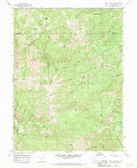
1966 · Leech Lake Mountain
USGS Topo · 1:24,000

1967 · Plaskett Ridge
USGS Topo · 1:24,000