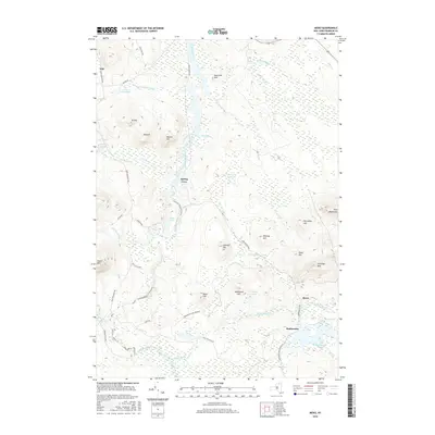
2016 Map of Meno
USGS Topo · Published 2016About this map
The Saint Regis River carves a central path through this northern reach of the Adirondack Park, where the landscape is defined by vast wetlands and isolated peaks. Small settlements like Madawaska and Spring Cove sit along the river and rail corridors, markers of a quiet history in the Franklin County backcountry. The topography is dominated by prominent heights including Jennings Mtn, Azure Mtn, and Porcupine Hill, which rise above a network of waterways such as Quebec Brook and the Onion River.
Find a feature on this map
45 named features on this map. Tap any name to fly to it.
Don’t see what you’re looking for? This feature index may not catch every label — zoom into the map to look around manually.
Map Details
Editions of this 2016 Meno Map
This is the sole edition of this map. No revisions or reprints were ever made.
Other maps of this area

1905 · Saint Regis
USGS Topo · 1:62,500

1919 · Nicholville
USGS Topo · 1:62,500

1920 · Childwold
USGS Topo · 1:62,500

1921 · Childwold
USGS Topo · 1:48,000

1921 · Nicholville
USGS Topo · 1:62,500

1921 · Santa Clara
USGS Topo · 1:62,500

1922 · Childwold
USGS Topo · 1:62,500

1923 · Santa Clara
USGS Topo · 1:62,500

1948 · Ogdensburg
USGS Topo · 1:250,000

1951 · Ogdensburg
USGS Topo · 1:250,000