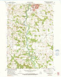
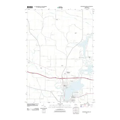
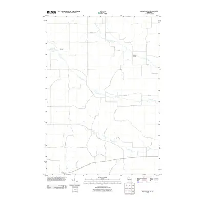
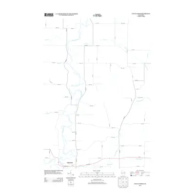
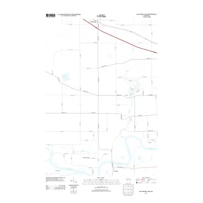
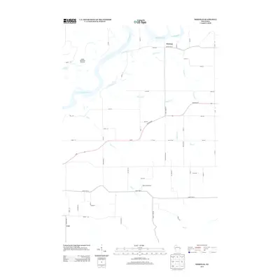
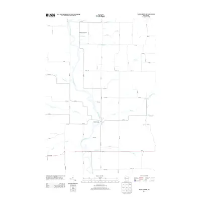
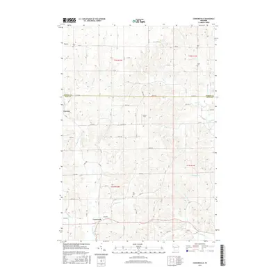
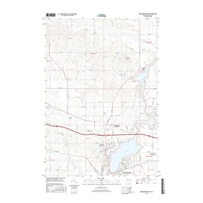
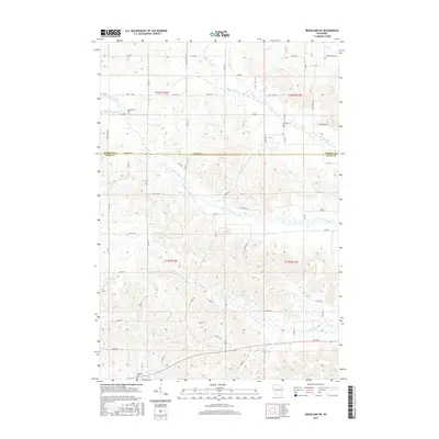
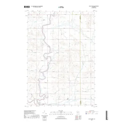
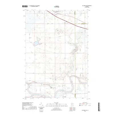
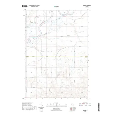
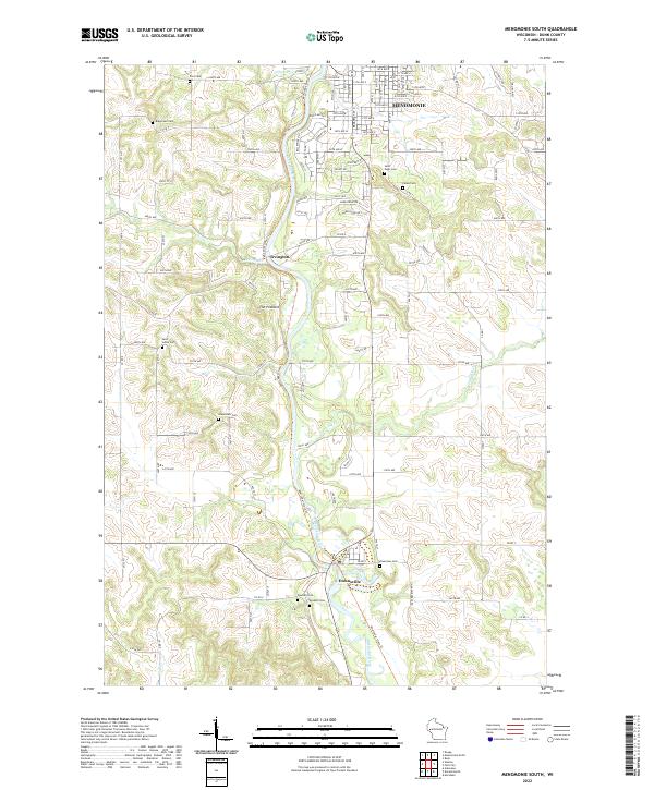
1972 Map of Menomonie South
USGS Topo · Published 1991About this map
The Red Cedar River corridor serves as the primary artery through this portion of Dunn County, anchoring the community of Menomonie at its northern bend. This 1972 survey shows the city during a period of institutional growth, prominently featuring the Stout State University campus alongside essential civic infrastructure like Memorial Hospital and the Junior-Senior High School. The landscape is a mix of academic influence and rural tradition, with numerous family and community burial grounds such as Ford Cemetery and Ridge Road Cemetery marking the uplands.
Find a feature on this map
39 named features on this map. Tap any name to fly to it.
Don’t see what you’re looking for? This feature index may not catch every label — zoom into the map to look around manually.
Map Details
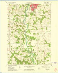
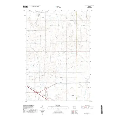
Editions of this 1972 Menomonie South Map
2 editions found
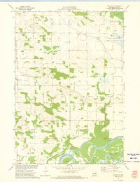
Historical Maps of Menomonie Through Time
84 maps found

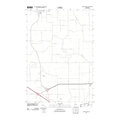
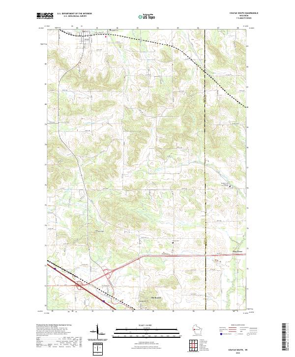
1972 Colfax South
Dunn County, WI

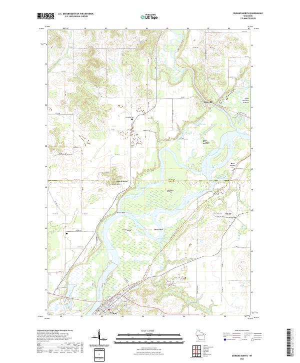
1972 Durand North
Dunn County, WI

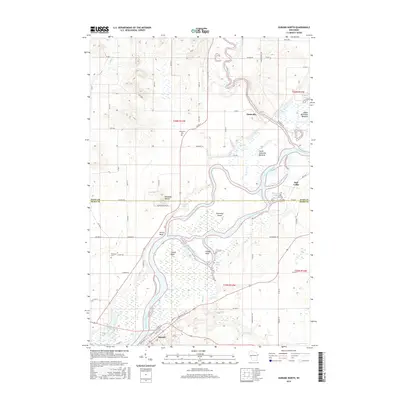
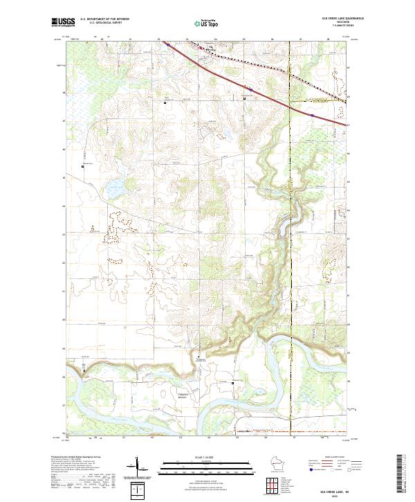
1972 Elk Creek Lake
Dunn County, WI
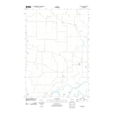
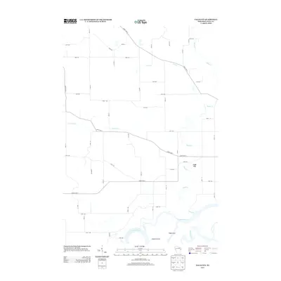
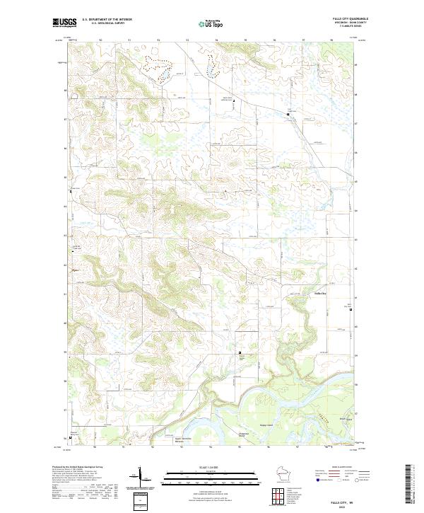
1972 Falls City
Dunn County, WI

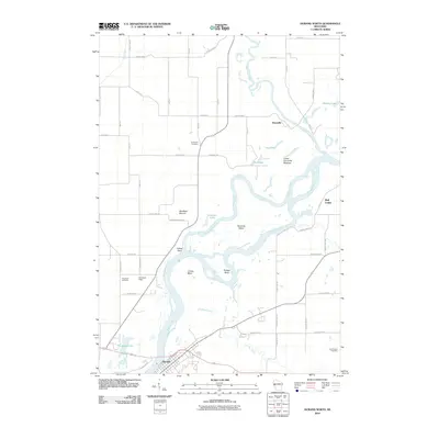
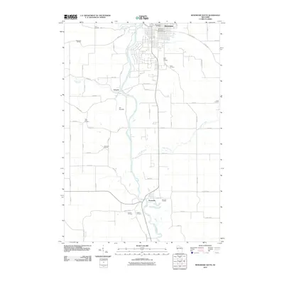
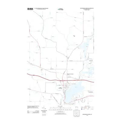
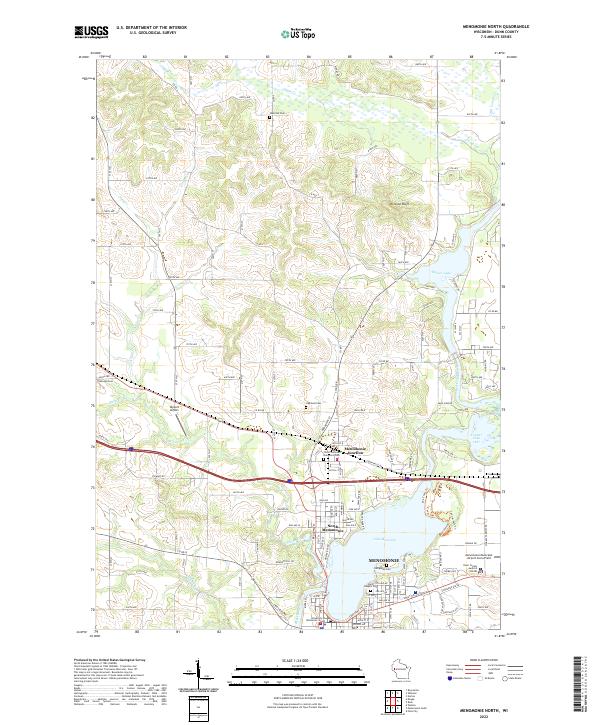
1972 Menomonie North
Dunn County, WI
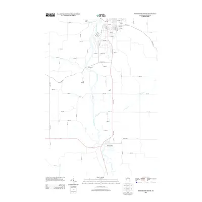
1972 Menomonie South
Dunn County, WI

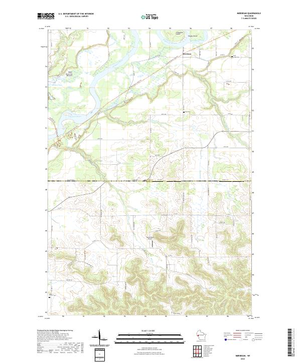
1972 Meridean
Dunn County, WI

1972 Rusk
Dunn County, WI

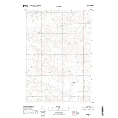
1974 Weston
Dunn County, WI

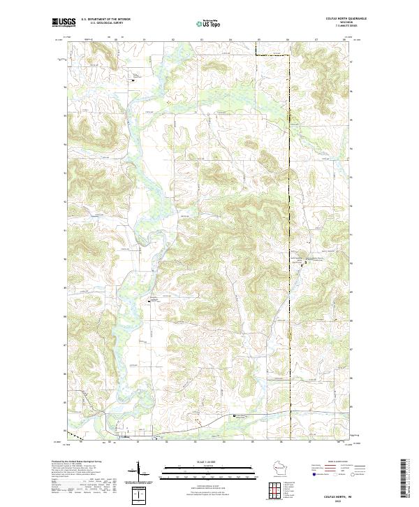
1975 Colfax North
Dunn County, WI

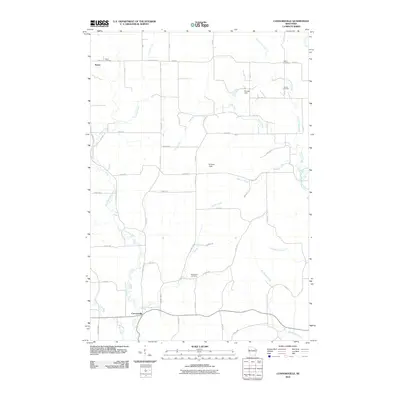
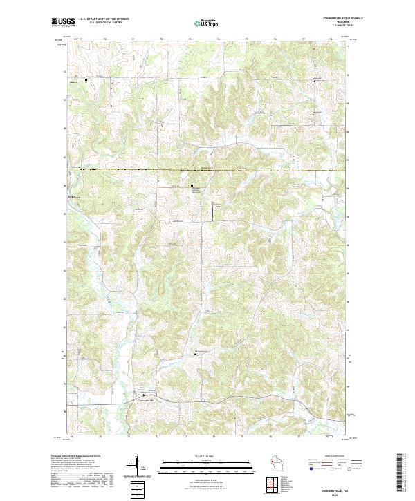
1975 Connorsville
Dunn County, WI

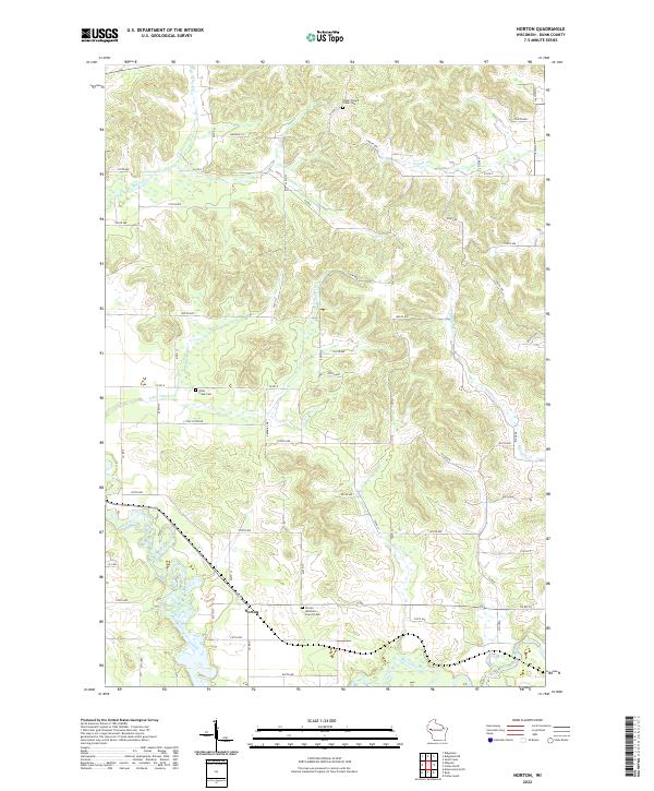
1975 Norton
Dunn County, WI

1975 Ridgeland NE
Dunn County, WI

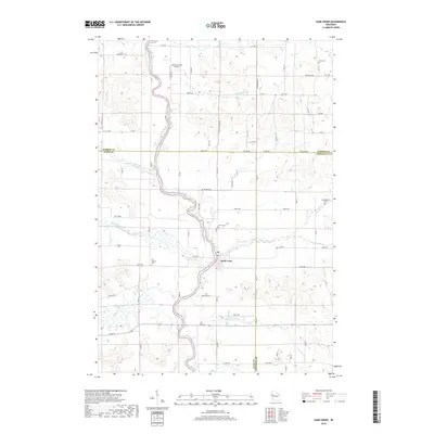
1975 Sand Creek
Dunn County, WI
2010 Colfax North
Dunn County, WI
2010 Colfax South
Dunn County, WI
2010 Connorsville
Dunn County, WI
2010 Durand North
Dunn County, WI

2010 Elk Creek Lake
Dunn County, WI
2010 Falls City
Dunn County, WI
2010 Menomonie North
Dunn County, WI
2010 Menomonie South
Dunn County, WI
2010 Meridean
Dunn County, WI
2010 Norton
Dunn County, WI
2010 Ridgeland NE
Dunn County, WI
2010 Rusk
Dunn County, WI
2010 Sand Creek
Dunn County, WI
2010 Weston
Dunn County, WI
2013 Colfax North
Dunn County, WI
2013 Colfax South
Dunn County, WI
2013 Connorsville
Dunn County, WI
2013 Durand North
Dunn County, WI
2013 Elk Creek Lake
Dunn County, WI
2013 Falls City
Dunn County, WI
2013 Menomonie North
Dunn County, WI
2013 Menomonie South
Dunn County, WI
2013 Meridean
Dunn County, WI
2013 Norton
Dunn County, WI
2013 Ridgeland NE
Dunn County, WI
2013 Rusk
Dunn County, WI
2013 Sand Creek
Dunn County, WI
2013 Weston
Dunn County, WI
2015 Colfax North
Dunn County, WI
2015 Colfax South
Dunn County, WI
2015 Connorsville
Dunn County, WI
2015 Durand North
Dunn County, WI
2015 Elk Creek Lake
Dunn County, WI
2015 Falls City
Dunn County, WI
2015 Menomonie North
Dunn County, WI
2015 Menomonie South
Dunn County, WI
2015 Meridean
Dunn County, WI
2015 Norton
Dunn County, WI
2015 Ridgeland NE
Dunn County, WI
2015 Rusk
Dunn County, WI
2015 Sand Creek
Dunn County, WI
2015 Weston
Dunn County, WI
2018 Colfax North
Dunn County, WI
2018 Colfax South
Dunn County, WI
2018 Connorsville
Dunn County, WI
2018 Durand North
Dunn County, WI
2018 Elk Creek Lake
Dunn County, WI
2018 Falls City
Dunn County, WI
2018 Menomonie North
Dunn County, WI
2018 Menomonie South
Dunn County, WI
2018 Meridean
Dunn County, WI
2018 Norton
Dunn County, WI
2018 Ridgeland NE
Dunn County, WI
2018 Rusk
Dunn County, WI
2018 Sand Creek
Dunn County, WI
2018 Weston
Dunn County, WI
2022 Colfax North
Dunn County, WI
2022 Colfax South
Dunn County, WI
2022 Connorsville
Dunn County, WI
2022 Durand North
Dunn County, WI
2022 Elk Creek Lake
Dunn County, WI
2022 Falls City
Dunn County, WI
2022 Menomonie North
Dunn County, WI
2022 Menomonie South
Dunn County, WI
2022 Meridean
Dunn County, WI
2022 Norton
Dunn County, WI
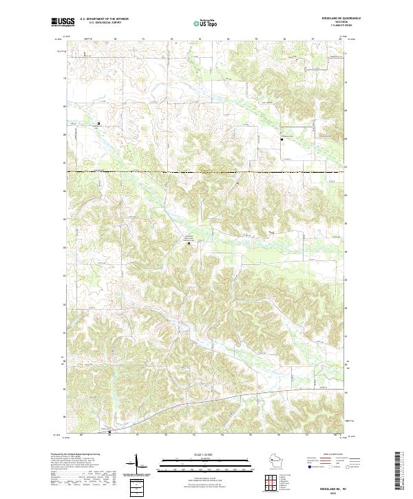
2022 Ridgeland NE
Dunn County, WI
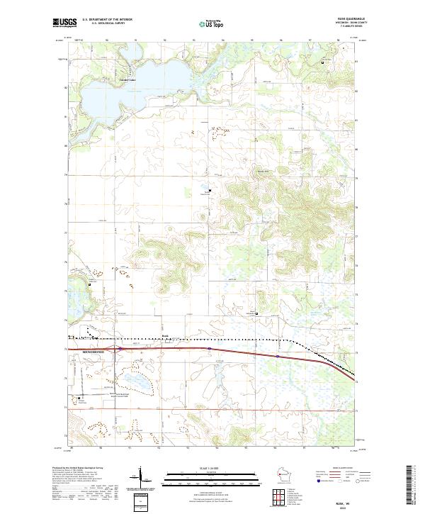
2022 Rusk
Dunn County, WI
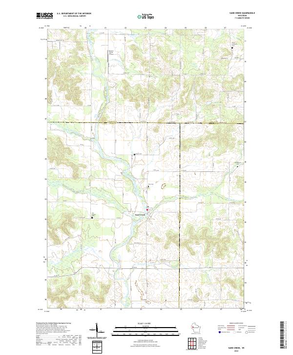
2022 Sand Creek
Dunn County, WI
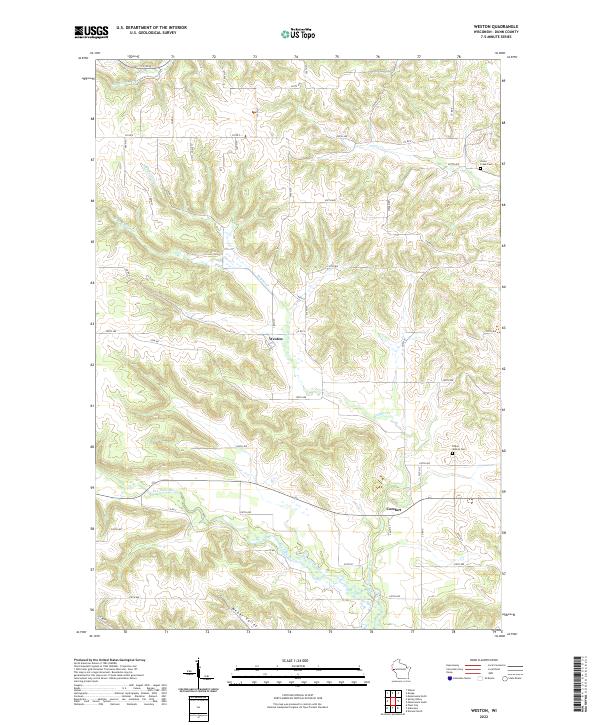
2022 Weston
Dunn County, WI