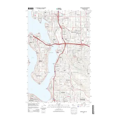
2014 Map of Mercer Island
USGS Topo · Published 2014About this map
Mercer Island Town Center and the various residential neighborhoods of Mercer Island occupy the western half of this 2014 survey, set against the waters of Lake Washington. The eastern shore transitions into the suburban landscape of Bellevue, where the intricate Mercer Slough and preserved green spaces like the Bellevue Botanical Garden break up the dense network of surface streets and interchanges. This period captures the mature development of the Eastside, including the campus of Bellevue Coll and the shoreline communities of Beaux Arts Village and Newport Shores. Historically significant access points such as Franklin Landing, Burrows Landing, and Newcastle Landing hint at the area's earlier dependence on waterborne travel before the expansion of the modern highway system. Further inland, specialized water management is noted at Silt Detention Ponds Number One near Coal Cr, reflecting the suburban integration with the local topography.
Find a feature on this map
178 named features on this map. Tap any name to fly to it.
Don’t see what you’re looking for? This feature index may not catch every label — zoom into the map to look around manually.
Map Details
Editions of this 2014 Mercer Island Map
This is the sole edition of this map. No revisions or reprints were ever made.
Other maps of this area

1894 · Seattle
USGS Topo · 1:62,500

1895 · Snohomish
USGS Topo · 1:125,000

1897 · Tacoma
USGS Topo · 1:125,000

1897 · Seattle
USGS Topo · 1:125,000

1900 · Tacoma
USGS Topo · 1:125,000

1908 · Seattle
USGS Topo · 1:62,500

1909 · Seattle Special
USGS Topo · 1:62,500

1949 · Maple Valley
USGS Topo · 1:24,000

1949 · Renton
USGS Topo · 1:24,000

1949 · Seattle North
USGS Topo · 1:24,000