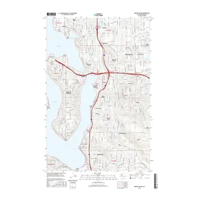
2017 Map of Mercer Island
USGS Topo · Published 2017About this map
Mercer Island sits as the central focus of this landscape, surrounded by the waters of Lake Washington and the East Channel. This modern survey reveals the dense suburban development characterizing the eastern shore of the lake, where established communities like Medina, Clyde Hill, and Bellevue transition into the specialized enclaves of Beaux Arts Village and Newport Shores. The topography rises significantly to the east toward the Newcastle Hills, where the land's industrial past is subtly marked by the winding Coal Creek Rd and the namesake Coal Creek.
Find a feature on this map
68 named features on this map. Tap any name to fly to it.
Don’t see what you’re looking for? This feature index may not catch every label — zoom into the map to look around manually.
Map Details
Editions of this 2017 Mercer Island Map
This is the sole edition of this map. No revisions or reprints were ever made.
Other maps of this area

1894 · Seattle
USGS Topo · 1:62,500

1895 · Snohomish
USGS Topo · 1:125,000

1897 · Tacoma
USGS Topo · 1:125,000

1897 · Seattle
USGS Topo · 1:125,000

1900 · Tacoma
USGS Topo · 1:125,000

1908 · Seattle
USGS Topo · 1:62,500

1909 · Seattle Special
USGS Topo · 1:62,500

1949 · Maple Valley
USGS Topo · 1:24,000

1949 · Renton
USGS Topo · 1:24,000

1949 · Seattle North
USGS Topo · 1:24,000