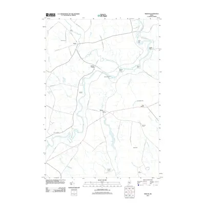
2011 Map of Mercer
USGS Topo · Published 2011About this map
The Sandy River winds through this rural landscape of Somerset County, serving as the primary corridor for settlements like Starks and Witham Corner. The river's reach is punctuated by infrastructure including the Sandy River Dam and several prominent river features such as Yeaton Island and Bowden Island. Away from the main channel, the terrain is defined by a network of smaller drainages like Lemon Stream, Indian Stream, and Bog Stream, the latter of which is controlled by the Mercer Bog Dam.
Find a feature on this map
55 named features on this map. Tap any name to fly to it.
Don’t see what you’re looking for? This feature index may not catch every label — zoom into the map to look around manually.
Map Details
Editions of this 2011 Mercer Map
This is the sole edition of this map. No revisions or reprints were ever made.
Other maps of this area

1894 · Norridgewock
USGS Topo · 1:62,500

1898 · Norridgewock
USGS Topo · 1:62,500

1904 · Anson
USGS Topo · 1:62,500

1924 · Farmington
USGS Topo · 1:62,500

1930 · Kingfield
USGS Topo · 1:48,000

1932 · Kingfield
USGS Topo · 1:62,500

1943 · Norridgewock
USGS Topo · 1:62,500

1948 · Bangor
USGS Topo · 1:250,000

1950 · Lewiston
USGS Topo · 1:250,000

1955 · Anson
USGS Topo · 1:62,500