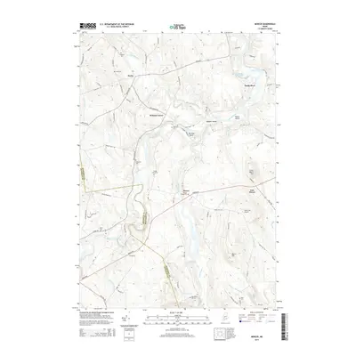
2014 Map of Mercer
USGS Topo · Published 2014About this map
Mercer and its surrounding rural hamlets sit at the heart of this landscape where the Sandy River winds through Somerset and Franklin Counties. This modern survey illustrates the persistent geography of 19th-century settlement patterns, from the cluster at Witham Corner to the village center near Mercer Village Cem. The terrain is defined by low hills and watercourses, including Lemon Stream and the broad flats of Yeaton Island.
Find a feature on this map
78 named features on this map. Tap any name to fly to it.
Don’t see what you’re looking for? This feature index may not catch every label — zoom into the map to look around manually.
Map Details
Editions of this 2014 Mercer Map
This is the sole edition of this map. No revisions or reprints were ever made.
Other maps of this area

1894 · Norridgewock
USGS Topo · 1:62,500

1898 · Norridgewock
USGS Topo · 1:62,500

1904 · Anson
USGS Topo · 1:62,500

1924 · Farmington
USGS Topo · 1:62,500

1930 · Kingfield
USGS Topo · 1:48,000

1932 · Kingfield
USGS Topo · 1:62,500

1943 · Norridgewock
USGS Topo · 1:62,500

1948 · Bangor
USGS Topo · 1:250,000

1950 · Lewiston
USGS Topo · 1:250,000

1955 · Anson
USGS Topo · 1:62,500