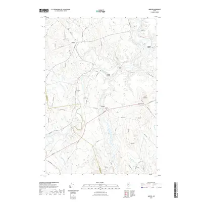
2021 Map of Mercer
USGS Topo · Published 2021About this map
Sandy River winds through the heart of this Maine landscape, defining the boundaries and transport routes of Mercer and Starks. The river's path is marked by distinctive features such as Yeaton Island, Bowden Island, and Farrand Island, illustrating the dynamic nature of the local hydrology. This 2021 survey reveals a settlement pattern deeply rooted in family history, evidenced by an exceptional density of named burial grounds including Frederic Cem, Locke Cem, and Elliot - Young Cem.
Find a feature on this map
73 named features on this map. Tap any name to fly to it.
Don’t see what you’re looking for? This feature index may not catch every label — zoom into the map to look around manually.
Map Details
Editions of this 2021 Mercer Map
This is the sole edition of this map. No revisions or reprints were ever made.
Other maps of this area

1894 · Norridgewock
USGS Topo · 1:62,500

1898 · Norridgewock
USGS Topo · 1:62,500

1904 · Anson
USGS Topo · 1:62,500

1924 · Farmington
USGS Topo · 1:62,500

1930 · Kingfield
USGS Topo · 1:48,000

1932 · Kingfield
USGS Topo · 1:62,500

1943 · Norridgewock
USGS Topo · 1:62,500

1948 · Bangor
USGS Topo · 1:250,000

1950 · Lewiston
USGS Topo · 1:250,000

1955 · Anson
USGS Topo · 1:62,500