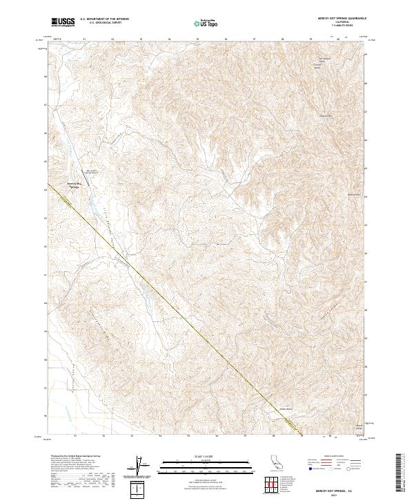
2021 Map of Mercey Hot Springs
USGS Topo · Published 2021About this map
Mercey Hot Springs anchors this landscape where the Diablo Range meets the edge of the Central Valley. The terrain is defined by a series of northwest-trending ridges and canyons, including Glaucophane Ridge and Capita Canyon, which channel the seasonal flow of Little Panoche Cr and its tributaries. The proximity of the Mercey Hot Springs Airport to the historic springs suggests the ongoing importance of this location as a remote destination within the arid hills of Fresno and San Benito counties.
Find a feature on this map
24 named features on this map. Tap any name to fly to it.
Don’t see what you’re looking for? This feature index may not catch every label — zoom into the map to look around manually.
Map Details
Editions of this 2021 Mercey Hot Springs Map
This is the sole edition of this map. No revisions or reprints were ever made.
Other maps of this area

1913 · Panoche
USGS Topo · 1:125,000

1921 · Laguna Seca Ranch
USGS Topo · 1:31,680

1921 · Tierra Loma School
USGS Topo · 1:31,680

1923 · Laguna Seca Ranch
USGS Topo · 1:31,680

1923 · Tierra Loma School
USGS Topo · 1:31,680

1923 · Little Panoche
USGS Topo · 1:31,680

1943 · Ortigalita Peak
USGS Topo · 1:62,500

1944 · Panoche Valley
USGS Topo · 1:62,500

1948 · Santa Cruz
USGS Topo · 1:250,000

1955 · Santa Cruz
USGS Topo · 1:250,000