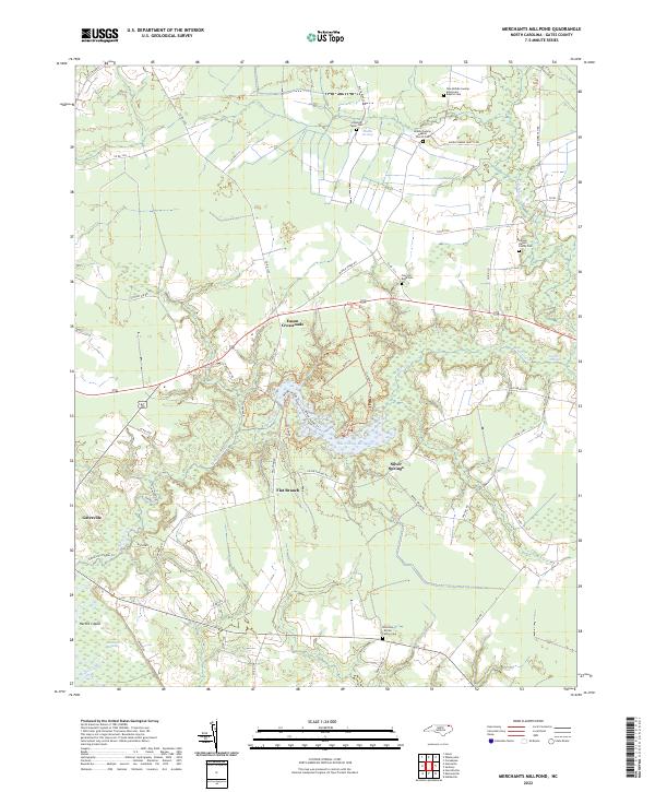
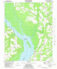
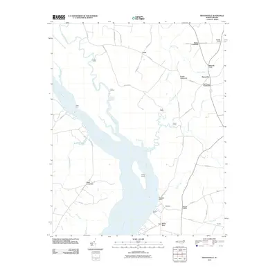
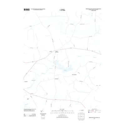
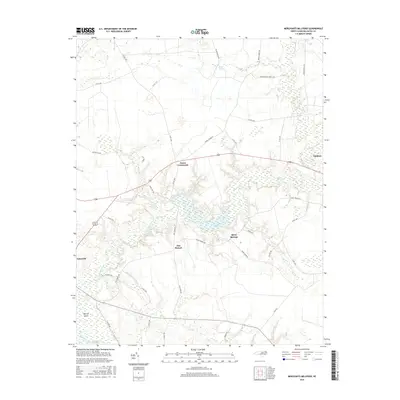
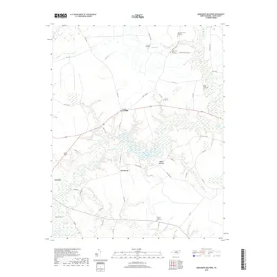
2022 Map of Merchants Millpond
USGS Topo · Published 2022About this map
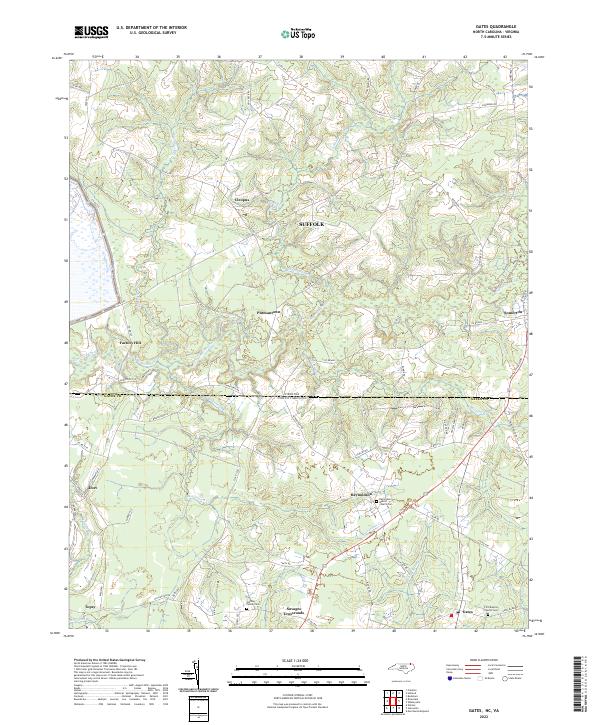
Merchants Millpond sits at the heart of this Gates County landscape, surrounded by an intricate system of swampy lowlands including Lassiter Swamp and Middle Swamp. The area’s genealogical record is remarkably well-preserved through numerous small family and church burial grounds, such as the Samuel Harrell Family Cem and the Rountree-Brown Family Cem. The township of Gatesville occupies the southwestern corner, while smaller hubs like Eason Crossroads and Silver Springs define the rural interior. Modern recreation is evident through named paths like the Orange Paddle Trl and Bike Trl, indicating the transformation of these waterways and woods into accessible natural spaces while preserving the footprint of the Middle Swamp Hunt Club.
Find a feature on this map
55 named features on this map. Tap any name to fly to it.
Don’t see what you’re looking for? This feature index may not catch every label — zoom into the map to look around manually.
Map Details
Editions of this 2022 Merchants Millpond Map
This is the sole edition of this map. No revisions or reprints were ever made.
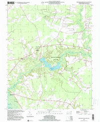
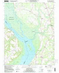
Historical Maps of Sunbury Through Time
28 maps found

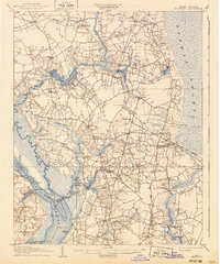
1906 Beckford
Gates County, NC
1907 Beckford
Gates County, NC

1940 Beckford
Gates County, NC
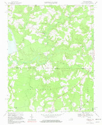
1967 Gates
Gates County, NC
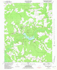
1981 Merchants Millpond
Gates County, NC
1982 Mintonsville
Gates County, NC
1997 Merchants Millpond
Gates County, NC
1997 Mintonsville
Gates County, NC
2010 Gates
Gates County, NC
2010 Mintonsville
Gates County, NC
2011 Corapeake
Gates County, NC
2011 Merchants Millpond
Gates County, NC
2013 Corapeake
Gates County, NC
2013 Gates
Gates County, NC
2013 Merchants Millpond
Gates County, NC
2013 Mintonsville
Gates County, NC
2016 Corapeake
Gates County, NC
2016 Gates
Gates County, NC
2016 Merchants Millpond
Gates County, NC
2016 Mintonsville
Gates County, NC
2019 Corapeake
Gates County, NC
2019 Gates
Gates County, NC
2019 Merchants Millpond
Gates County, NC
2019 Mintonsville
Gates County, NC
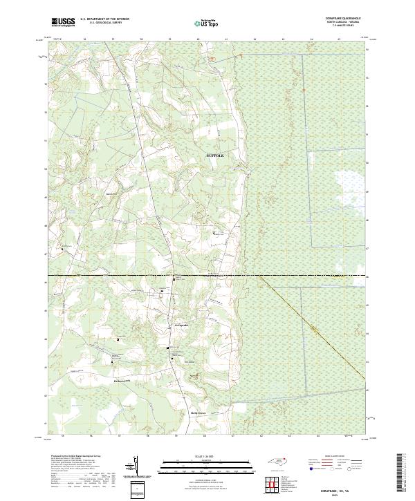
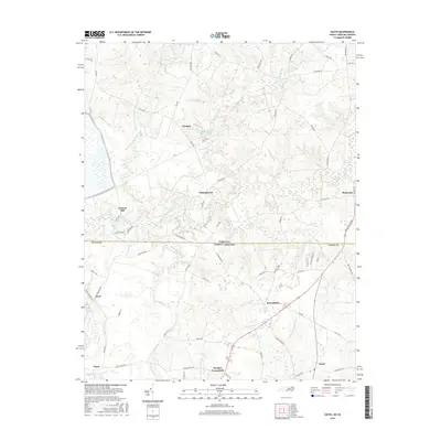
2022 Corapeake
Gates County, NC
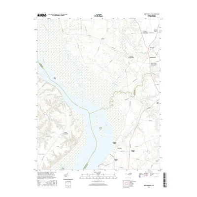
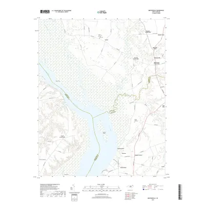
2022 Gates
Gates County, NC
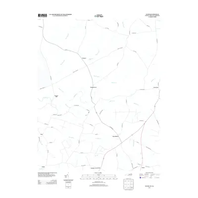
2022 Merchants Millpond
Gates County, NC
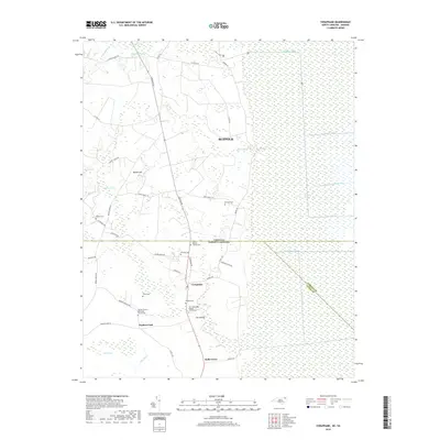
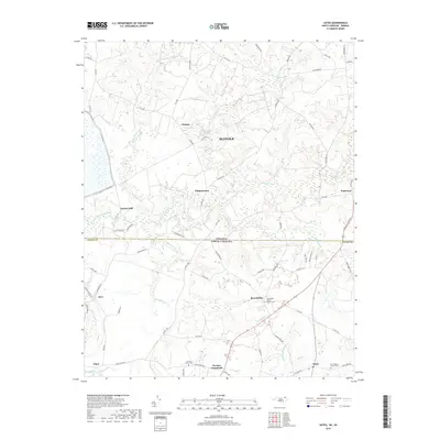
2022 Mintonsville
Gates County, NC