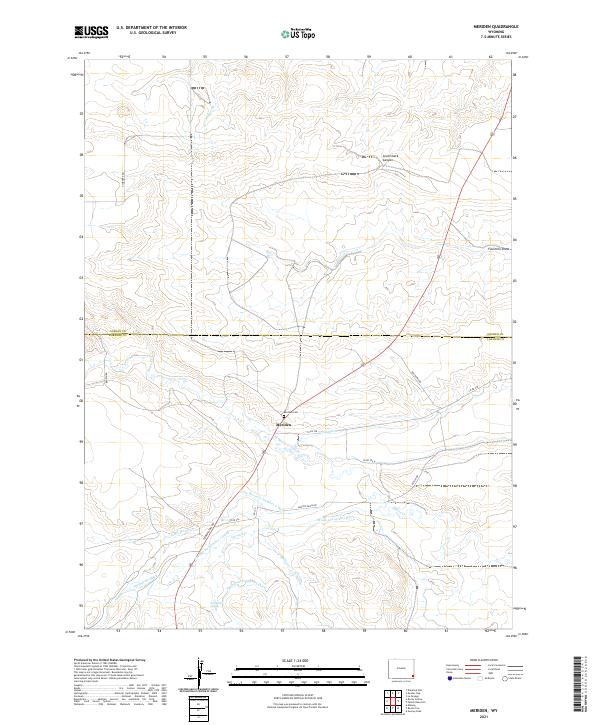
2021 Map of Meriden
USGS Topo · Published 2021About this map
Meriden serves as the focal point of this rural Wyoming landscape, situated near the boundary of Goshen and Laramie counties. The settlement is anchored by the Meriden Cem, reflecting the early community ties of this high plains region. The surrounding terrain is defined by a complex network of water management, including the Springvale Ditch, Wood and Lykins Ditch, and Gead Ditch, which redirect water from Horse Cr and its tributaries to support local ranching operations. The topography is marked by distinctive features such as Lovercheck Canyon and Fourmile Draw, while the unexpected presence of Sprinkler Geyser near Mills Cr adds a unique geothermal or hydrological element to the area's natural character.
Find a feature on this map
31 named features on this map. Tap any name to fly to it.
Don’t see what you’re looking for? This feature index may not catch every label — zoom into the map to look around manually.
Map Details
Editions of this 2021 Meriden Map
This is the sole edition of this map. No revisions or reprints were ever made.
Other maps of this area

1899 · Goshen Hole
USGS Topo · 1:125,000

1954 · Cheyenne
USGS Topo · 1:250,000

1958 · Cheyenne
USGS Topo · 1:250,000

1960 · Diamond Flat
USGS Topo · 1:24,000

1960 · Petsch Reservoir
USGS Topo · 1:24,000

1960 · Rocky Hollow
USGS Topo · 1:24,000

1960 · Kessler Gap
USGS Topo · 1:24,000

1960 · Meriden
USGS Topo · 1:24,000

1960 · La Grange
USGS Topo · 1:24,000

1963 · Midway
USGS Topo · 1:24,000