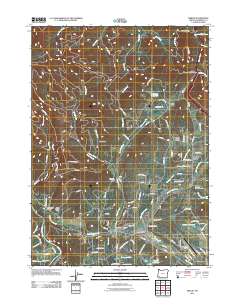
2011 Map of Merlin
USGS Topo · Published 2011About this map
Merlin serves as a central hub in this Josephine County landscape, situated at the confluence of several vital watercourses including Jumpoff Joe Creek and Lozier Creek. The 2011 survey documents a community defined by its proximity to both agricultural lands and transportation corridors, with the Merlin Post Office and Grants Pass Airport anchoring the local infrastructure. To the north, the terrain climbs toward Sexton Mountain Pass, a critical geographic gate for travelers along the interstate corridor.
Find a feature on this map
109 named features on this map. Tap any name to fly to it.
Don’t see what you’re looking for? This feature index may not catch every label — zoom into the map to look around manually.
Map Details
Editions of this 2011 Merlin Map
This is the sole edition of this map. No revisions or reprints were ever made.
Other maps of this area
1904 · Riddle
USGS Topo · 1:125,000
1908 · Grants Pass
USGS Topo · 1:125,000
1917 · Kerby
USGS Topo · 1:125,000
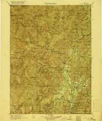
1918 · Kerby
USGS Topo · 1:125,000
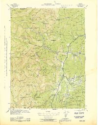
1945 · Kerby
USGS Topo · 1:125,000
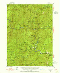
1946 · Galice
USGS Topo · 1:62,500
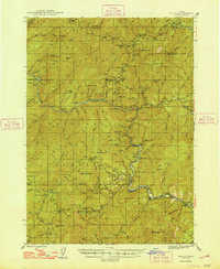
1948 · Galice
USGS Topo · 1:62,500
1954 · Glendale
USGS Topo · 1:62,500
1954 · Selma
USGS Topo · 1:62,500
1954 · Grants Pass
USGS Topo · 1:62,500