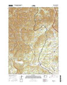
2017 Map of Merlin
USGS Topo · Published 2017About this map
Merlin and the neighboring community of Hugo anchor this Josephine County landscape, where the foothills of the Siskiyou Mountains meet the fertile valleys of southern Oregon. The terrain is deeply incised by drainages like Jumpoff Joe Cr and Pickering Cr, while numerous gulches such as Hades Gulch and Brimston Gulch define the northern upland reaches. Water management is a central theme of this rural corridor, evidenced by several small impoundments including Kennison Reservoir and Barker Reservoir.
Find a feature on this map
135 named features on this map. Tap any name to fly to it.
Don’t see what you’re looking for? This feature index may not catch every label — zoom into the map to look around manually.
Map Details
Editions of this 2017 Merlin Map
This is the sole edition of this map. No revisions or reprints were ever made.
Other maps of this area

1904 · Riddle
USGS Topo · 1:125,000

1908 · Grants Pass
USGS Topo · 1:125,000

1917 · Kerby
USGS Topo · 1:125,000

1918 · Kerby
USGS Topo · 1:125,000

1945 · Kerby
USGS Topo · 1:125,000

1946 · Galice
USGS Topo · 1:62,500

1948 · Galice
USGS Topo · 1:62,500

1954 · Glendale
USGS Topo · 1:62,500

1954 · Selma
USGS Topo · 1:62,500

1954 · Grants Pass
USGS Topo · 1:62,500