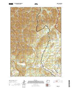
2020 Map of Merlin
USGS Topo · Published 2020About this map
Sexton Mountain Pass stands as a prominent geographic waypoint in this southern Oregon landscape, overlooking a series of valleys where the settlements of Merlin, Hugo, and Three Pines developed. The terrain is deeply incised by drainages with names that reflect the era's character, such as Hades Gulch, Brimstone Gulch, and Cochran Gulch. Water management is central to the area's layout, evidenced by the Kennison Reservoir, Barker Reservoir, and Werner Reservoir. To the east, Pleasant Valley contains the Pleasant Valley Cem, providing a focal point for genealogical research. The lower elevations near the Grants Pass Airport show a transition from the steeper mountain gulches to more developed valley floors where Jumpoff Joe Creek and Harris Creek converge.
Find a feature on this map
139 named features on this map. Tap any name to fly to it.
Don’t see what you’re looking for? This feature index may not catch every label — zoom into the map to look around manually.
Map Details
Editions of this 2020 Merlin Map
This is the sole edition of this map. No revisions or reprints were ever made.
Other maps of this area
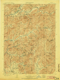
1904 · Riddle
USGS Topo · 1:125,000
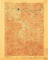
1908 · Grants Pass
USGS Topo · 1:125,000
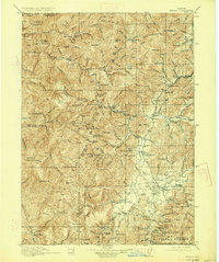
1917 · Kerby
USGS Topo · 1:125,000
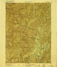
1918 · Kerby
USGS Topo · 1:125,000
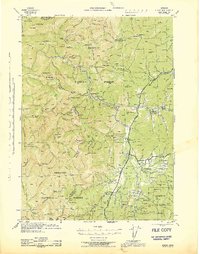
1945 · Kerby
USGS Topo · 1:125,000
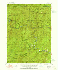
1946 · Galice
USGS Topo · 1:62,500
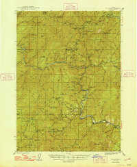
1948 · Galice
USGS Topo · 1:62,500
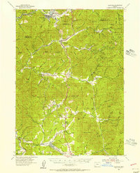
1954 · Glendale
USGS Topo · 1:62,500
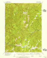
1954 · Selma
USGS Topo · 1:62,500
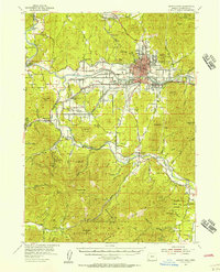
1954 · Grants Pass
USGS Topo · 1:62,500