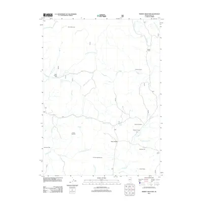
2012 Map of Merritt Mountain
USGS Topo · Published 2012About this map
Merritt Mountain and Jenneman Peak anchor this high-elevation corner of Elko County, where the landscape is defined by complex drainages and rugged promontories. The drainage network is particularly dense here, featuring the headwaters of Allegheny Creek, Cold Springs Creek, and Chicken Creek, which carve through the terrain between Rough Mountain and Cold Springs Mountain. The map reveals a remote pastoral and ranching character through features like Chipman Meadow and Sunflower Flat, which offer respite from the surrounding peaks. Water sources are critical in this environment, as evidenced by the presence of named points like Transient Spring, Archies Spring, and Jenkins Spring. Connectivity is limited to the winding Haystack Rd, illustrating the isolation of these canyons and gulches, such as Vincenti Canyon and Bridge Gulch, during the early 21st century.
Find a feature on this map
32 named features on this map. Tap any name to fly to it.
Don’t see what you’re looking for? This feature index may not catch every label — zoom into the map to look around manually.
Map Details
Editions of this 2012 Merritt Mountain Map
This is the sole edition of this map. No revisions or reprints were ever made.
Other maps of this area

1935 · Charleston
USGS Topo · 1:48,000

1936 · Mountain City
USGS Topo · 1:62,500

1936 · Rowland
USGS Topo · 1:48,000

1940 · Rowland
USGS Topo · 1:62,500

1940 · Mountain City
USGS Topo · 1:62,500

1942 · Mt. Velma
USGS Topo · 1:62,500

1955 · Wells
USGS Topo · 1:250,000

1956 · Wild Horse
USGS Topo · 1:62,500

1958 · Wells
USGS Topo · 1:250,000

1961 · Wells
USGS Topo · 1:250,000