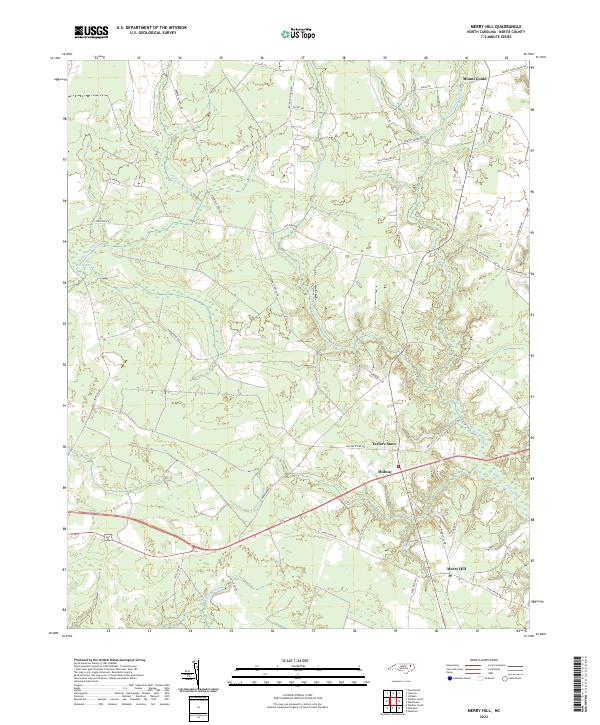
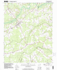
2022 Map of Merry Hill
USGS Topo · Published 2022About this map
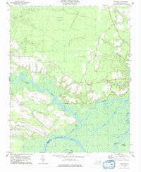
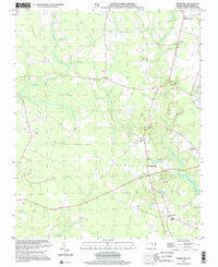
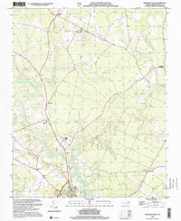
Bertie County's coastal plain landscape is defined by an intricate network of wetlands and sluggish streams in this modern survey. The area around Merry Hill and Midway is characterized by its reliance on a road network that often follows the high ground between extensive lowlands. Significant drainage systems like Salmon Creek and Eastmost Swamp dominate the eastern and southern portions of the map, while Flat Swamp and Cricket Swamp weave through the central interior. These features illustrate the geographic constraints on settlement in this part of North Carolina, where agriculture and small communities like Mount Gould and Taylors Store developed around the edges of these persistent water systems. Road names such as Bethany Church Rd and Ashland Church Rd suggest the historical locations of local congregations that have served as community anchors for generations.
Find a feature on this map
44 named features on this map. Tap any name to fly to it.
Don’t see what you’re looking for? This feature index may not catch every label — zoom into the map to look around manually.
Map Details
Editions of this 2022 Merry Hill Map
This is the sole edition of this map. No revisions or reprints were ever made.
Historical Maps of Taylors Store Through Time
18 maps found
1972 Republican
Bertie County, NC
1972 Woodville
Bertie County, NC
1978 Windsor South
Bertie County, NC
1979 Woodard
Bertie County, NC
1981 Quitsna
Bertie County, NC
1981 Windsor North
Bertie County, NC
1982 Merry Hill
Bertie County, NC
1997 Woodard
Bertie County, NC
2000 Merry Hill
Bertie County, NC
2000 Windsor North
Bertie County, NC
2002 Quitsna
Bertie County, NC
2002 Woodard
Bertie County, NC
2022 Merry Hill
Bertie County, NC
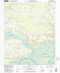
2022 Quitsna
Bertie County, NC
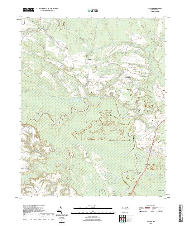
2022 Republican
Bertie County, NC
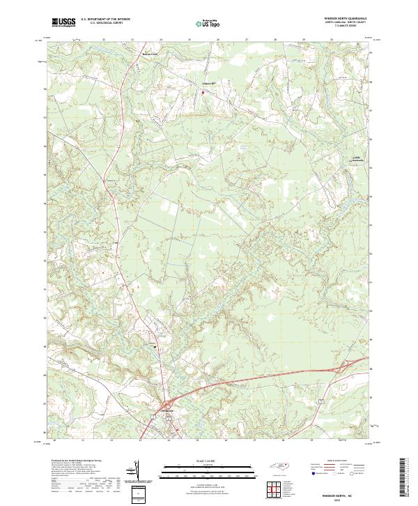
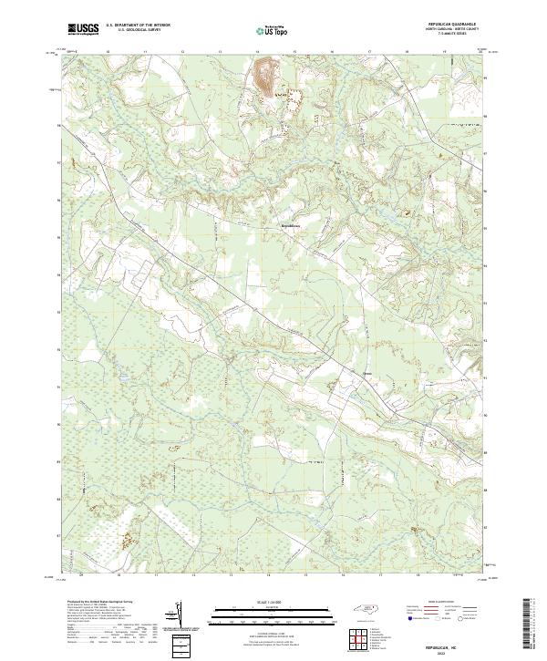
2022 Windsor North
Bertie County, NC
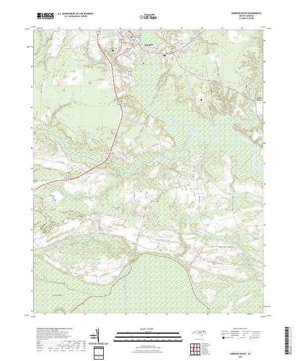
2022 Windsor South
Bertie County, NC
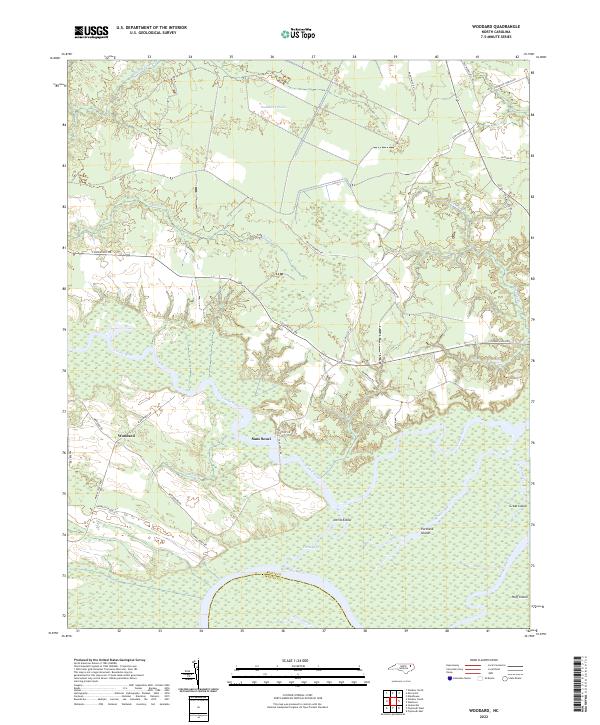
2022 Woodard
Bertie County, NC