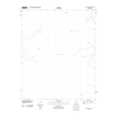
2010 Map of Mesa Gigante
USGS Topo · Published 2010About this map
Mesa Gigante dominates this high-desert landscape in the Eastern Navajo Agency during the early 21st century, defined by a complex network of drainage systems and isolated landmarks. The map documents the arid geography where Arroyo Gigante and Bell Rock Arroyo carve through the terrain, punctuated by geological features like Bell Rock and Chimney Rock. Human presence is sparse but specific, marked by the Harrington Windmill and the Chavez Deposit near the eastern edge. Local infrastructure relies on primitive routes such as Mesa Rd and Road 7036, which navigate around the steep mesas and through seasonal watercourses like Cañada de los Alamos. This topographic study provides a clear view of water resource management and land use in a region where named water sources like Alamos Spring are essential points of reference.
Find a feature on this map
16 named features on this map. Tap any name to fly to it.
Don’t see what you’re looking for? This feature index may not catch every label — zoom into the map to look around manually.
Map Details
Editions of this 2010 Mesa Gigante Map
This is the sole edition of this map. No revisions or reprints were ever made.
Other maps of this area

1883 · Mt. Taylor
USGS Topo · 1:250,000

1886 · Mt. Taylor
USGS Topo · 1:250,000

1892 · Mt. Taylor
USGS Topo · 1:250,000

1899 · Mt. Taylor
USGS Topo · 1:250,000

1917 · Cerro Verde
USGS Topo · 1:125,000

1954 · Herrera
USGS Topo · 1:24,000

1954 · South Garcia
USGS Topo · 1:24,000

1954 · Canoncito School
USGS Topo · 1:24,000

1954 · Socorro
USGS Topo · 1:250,000

1956 · South Garcia
USGS Topo · 1:62,500