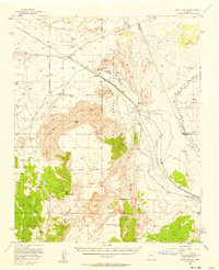
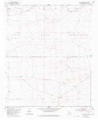
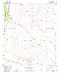
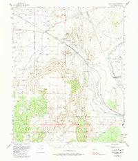
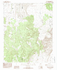
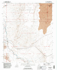
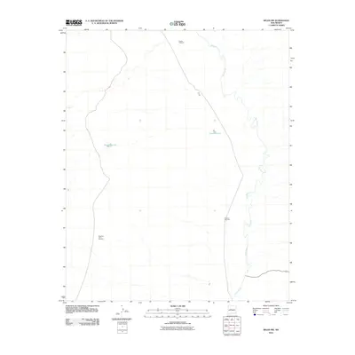
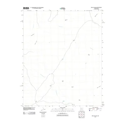
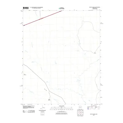
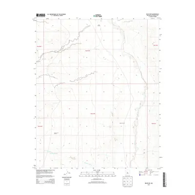
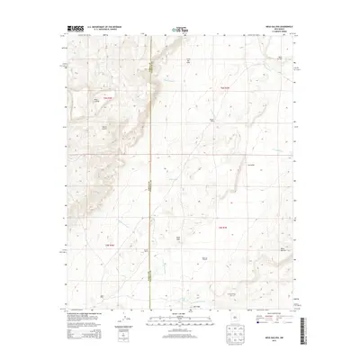
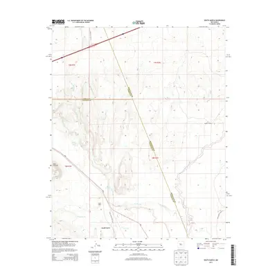
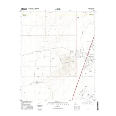
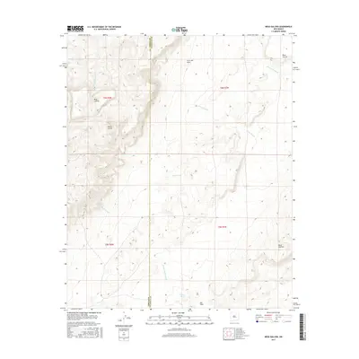
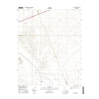
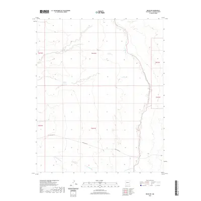
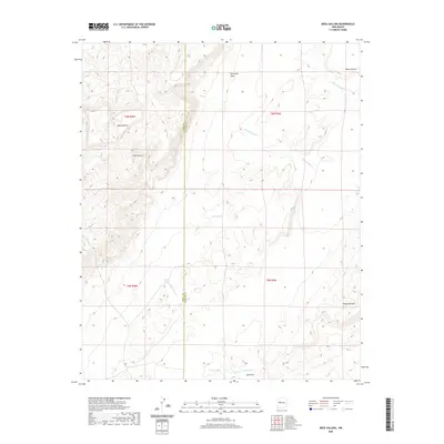
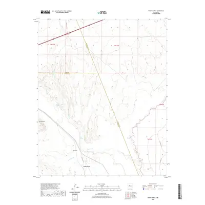
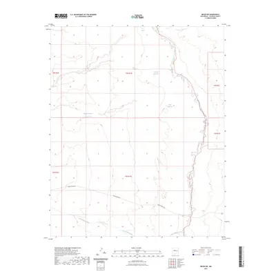
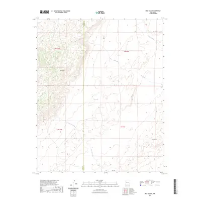
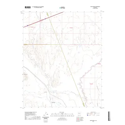
1956 Map of South Garcia
USGS Topo · Published 1958About this map
The Laguna Indian Reservation and Isleta Pueblo Grant dominate this mid-century New Mexican landscape, where the high desert is carved by the Rio San Jose and Rio Puerco. The Atchison Topeka and Santa Fe railroad corridor provides a vital transportation spine, serving small trackside stops like Correo and Suwanee. This era reveals a ranching economy reliant on a network of remote water sources, including Mc Gaughys Windmill and the T X Ranch.
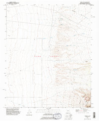
Find a feature on this map
47 named features on this map. Tap any name to fly to it.
Don’t see what you’re looking for? This feature index may not catch every label — zoom into the map to look around manually.
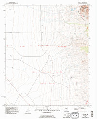
Map Details
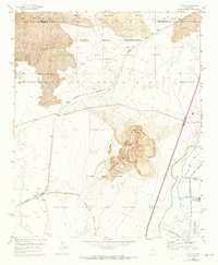
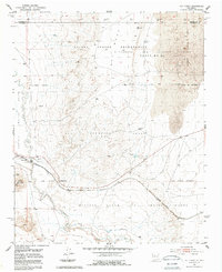
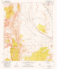
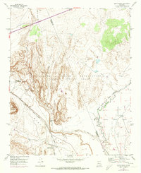
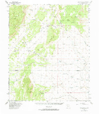
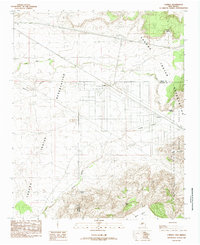
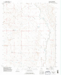
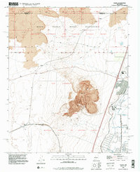
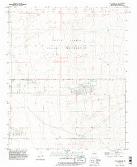
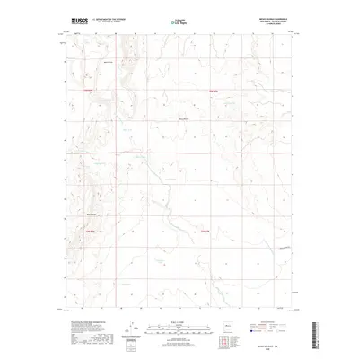
Editions of this 1956 South Garcia Map
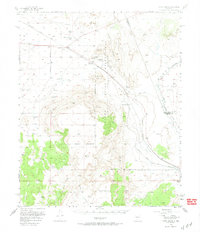
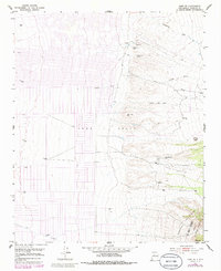
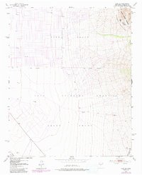
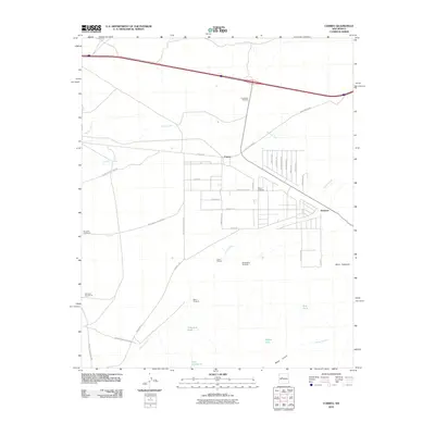
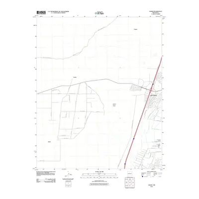
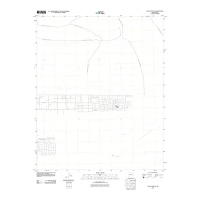
Historical Maps of Correo Through Time
82 maps found
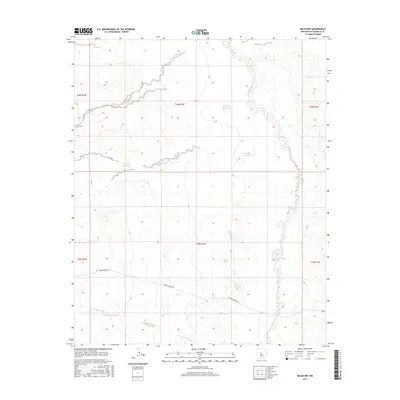
1952 Belen NW
Valencia County, NM
1952 Dalies
Valencia County, NM
1952 Los Lunas SE
Valencia County, NM
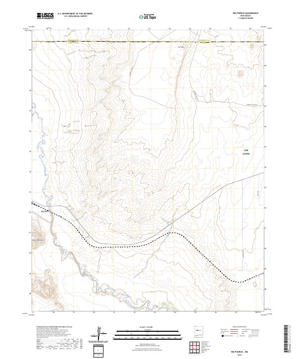
1952 Rio Puerco
Valencia County, NM
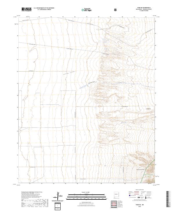
1952 Tome NE
Valencia County, NM
1952 Tome SE
Valencia County, NM
1952 Turn
Valencia County, NM
1954 South Garcia SE
Valencia County, NM
1954 South Garcia
Valencia County, NM
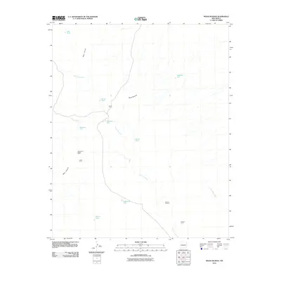
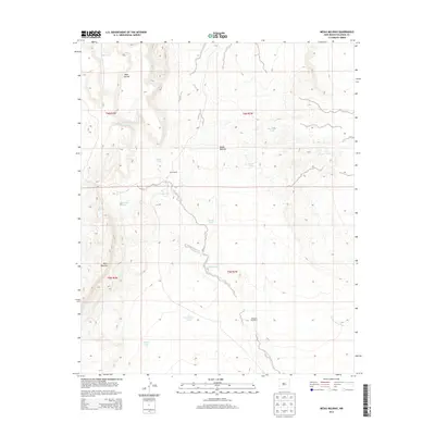
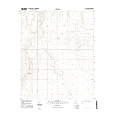
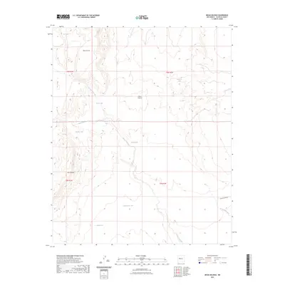
1956 Mesa Aparejo
Valencia County, NM
1956 South Garcia
Valencia County, NM
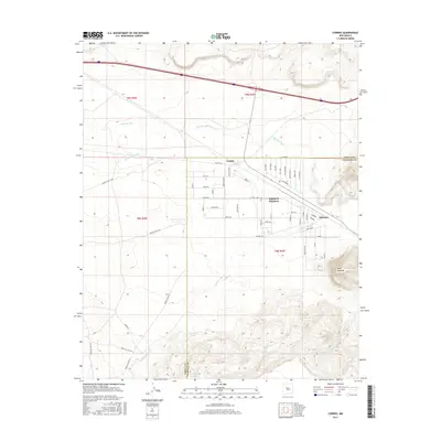
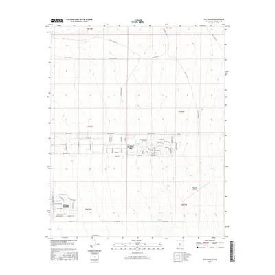
1985 Correo
Valencia County, NM
1985 Mesa Gallina
Valencia County, NM
1985 Mesas Mojinas
Valencia County, NM
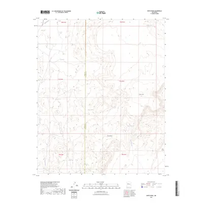
1985 White Ridge
Valencia County, NM
1991 Belen NW
Valencia County, NM
1991 Dalies
Valencia County, NM
1991 Los Lunas SE
Valencia County, NM
1991 Rio Puerco
Valencia County, NM
1991 Tome NE
Valencia County, NM
1991 Tome SE
Valencia County, NM
1991 Turn
Valencia County, NM
2010 Belen NW
Valencia County, NM
2010 Correo
Valencia County, NM
2010 Dalies
Valencia County, NM
2010 Los Lunas SE
Valencia County, NM
2010 Mesa Gallina
Valencia County, NM
2010 Mesas Mojinas
Valencia County, NM
2010 Rio Puerco
Valencia County, NM
2010 South Garcia SE
Valencia County, NM
2010 South Garcia
Valencia County, NM
2010 White Ridge
Valencia County, NM
2011 Tome NE
Valencia County, NM
2011 Tome SE
Valencia County, NM
2013 Belen NW
Valencia County, NM
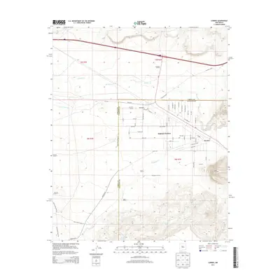
2013 Correo
Valencia County, NM
2013 Dalies
Valencia County, NM
2013 Los Lunas SE
Valencia County, NM
2013 Mesa Gallina
Valencia County, NM
2013 Mesas Mojinas
Valencia County, NM
2013 Rio Puerco
Valencia County, NM
2013 South Garcia SE
Valencia County, NM
2013 South Garcia
Valencia County, NM
2013 Tome NE
Valencia County, NM
2013 Tome SE
Valencia County, NM
2013 White Ridge
Valencia County, NM
2017 Belen NW
Valencia County, NM
2017 Correo
Valencia County, NM
2017 Dalies
Valencia County, NM
2017 Los Lunas SE
Valencia County, NM
2017 Mesa Gallina
Valencia County, NM
2017 Mesas Mojinas
Valencia County, NM
2017 Rio Puerco
Valencia County, NM
2017 South Garcia SE
Valencia County, NM
2017 South Garcia
Valencia County, NM
2017 Tome NE
Valencia County, NM
2017 Tome SE
Valencia County, NM
2017 White Ridge
Valencia County, NM
2020 Belen NW
Valencia County, NM
2020 Correo
Valencia County, NM
2020 Dalies
Valencia County, NM
2020 Los Lunas SE
Valencia County, NM
2020 Mesa Gallina
Valencia County, NM
2020 Mesas Mojinas
Valencia County, NM
2020 Rio Puerco
Valencia County, NM
2020 South Garcia SE
Valencia County, NM
2020 South Garcia
Valencia County, NM
2020 Tome NE
Valencia County, NM
2020 Tome SE
Valencia County, NM
2020 White Ridge
Valencia County, NM
2023 Belen NW
Valencia County, NM
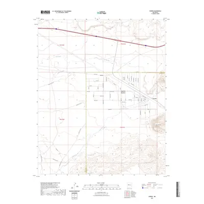
2023 Correo
Valencia County, NM
2023 Dalies
Valencia County, NM
2023 Los Lunas SE
Valencia County, NM
2023 Mesa Gallina
Valencia County, NM
2023 Mesas Mojinas
Valencia County, NM
2023 Rio Puerco
Valencia County, NM
2023 South Garcia SE
Valencia County, NM
2023 South Garcia
Valencia County, NM
2023 Tome NE
Valencia County, NM

2023 Tome SE
Valencia County, NM
2023 White Ridge
Valencia County, NM