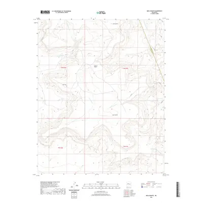
2020 Map of Mesa Gigante
USGS Topo · Published 2020About this map
Mesa Gigante dominates this high-desert landscape in New Mexico, marking a transition point where the Bernalillo Co Cibola Co line crosses the arid terrain. The drainage patterns of the Eastern Navajo Agency are well-defined here, with Arroyo Gigante and Bell Rock Arroyo cutting through the mesas. These seasonal waterways, including Arroyo Salado and Arroyo del Miranda, illustrate the complex erosion that defines this region's geography.
Find a feature on this map
21 named features on this map. Tap any name to fly to it.
Don’t see what you’re looking for? This feature index may not catch every label — zoom into the map to look around manually.
Map Details
Editions of this 2020 Mesa Gigante Map
This is the sole edition of this map. No revisions or reprints were ever made.
Other maps of this area

1883 · Mt. Taylor
USGS Topo · 1:250,000

1886 · Mt. Taylor
USGS Topo · 1:250,000

1892 · Mt. Taylor
USGS Topo · 1:250,000

1899 · Mt. Taylor
USGS Topo · 1:250,000

1917 · Cerro Verde
USGS Topo · 1:125,000

1954 · Herrera
USGS Topo · 1:24,000

1954 · South Garcia
USGS Topo · 1:24,000

1954 · Canoncito School
USGS Topo · 1:24,000

1954 · Socorro
USGS Topo · 1:250,000

1956 · South Garcia
USGS Topo · 1:62,500