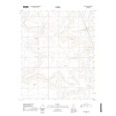
2023 Map of Mesa Gigante
USGS Topo · Published 2023About this map
Mesa Gigante dominates this high-altitude landscape where the borders of Bernalillo and Cibola counties meet. This 2023 survey illustrates a high desert environment defined by seasonal drainage patterns and prominent geological formations such as Bell Rock. The terrain is deeply incised by multiple watercourses, including Arroyo Gigante, Bell Rock Arroyo, and Sandoval Canyon, which reveal the erosive forces shaping the mesa edges.
Find a feature on this map
20 named features on this map. Tap any name to fly to it.
Don’t see what you’re looking for? This feature index may not catch every label — zoom into the map to look around manually.
Map Details
Editions of this 2023 Mesa Gigante Map
This is the sole edition of this map. No revisions or reprints were ever made.
Other maps of this area

1883 · Mt. Taylor
USGS Topo · 1:250,000

1886 · Mt. Taylor
USGS Topo · 1:250,000

1892 · Mt. Taylor
USGS Topo · 1:250,000

1899 · Mt. Taylor
USGS Topo · 1:250,000

1917 · Cerro Verde
USGS Topo · 1:125,000

1954 · Herrera
USGS Topo · 1:24,000

1954 · South Garcia
USGS Topo · 1:24,000

1954 · Canoncito School
USGS Topo · 1:24,000

1954 · Socorro
USGS Topo · 1:250,000

1956 · South Garcia
USGS Topo · 1:62,500