
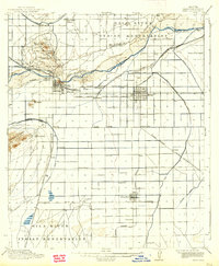
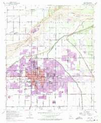
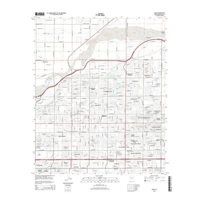
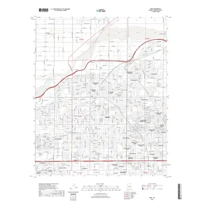
1958 Map of Mesa
USGS Topo · Published 1958About this map
The Superstition Mountains and Mazatzal Mountains dominate the central landscape of this 1958 survey, where the arid valley floor meets the high desert plateaus of the Mogollon Rim. To the west, the growing urban centers of Phoenix, Tempe, and Mesa are visible alongside the sprawling aviation infrastructure of Williams AF Base. This era depicts a critical moment in the region's agricultural and industrial history, showing the extensive irrigation network fed by the Salt River and Gila River, and the importance of the Southern Pacific railroad in connecting these valley settlements.
Find a feature on this map
112 named features on this map. Tap any name to fly to it.
Don’t see what you’re looking for? This feature index may not catch every label — zoom into the map to look around manually.
Map Details
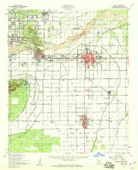
Editions of this 1958 Mesa Map
This is the sole edition of this map. No revisions or reprints were ever made.
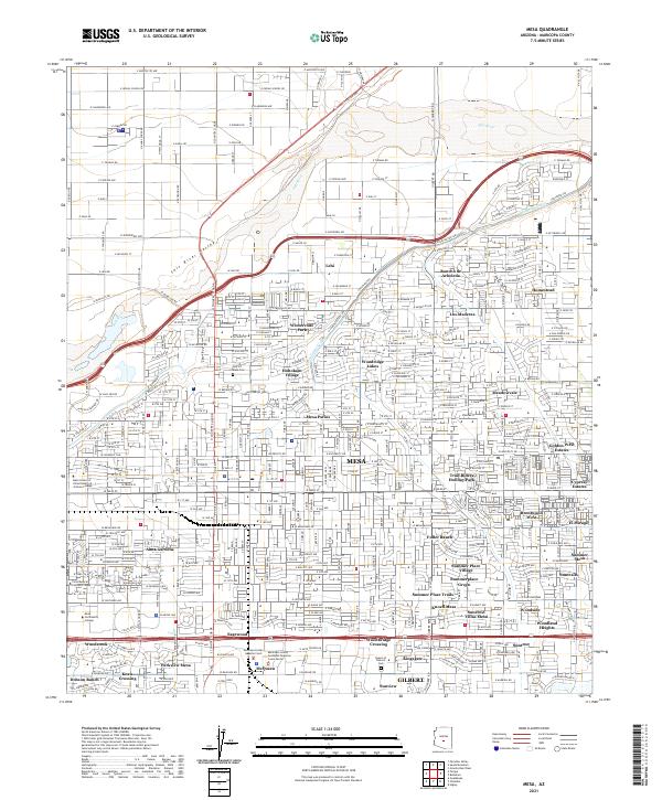
Historical Maps of Phoenix Through Time
16 maps found

1913 Mesa
Maricopa County, AZ
1915 Mesa
Maricopa County, AZ
1952 Mesa
Maricopa County, AZ
1952 Mesa
Maricopa County, AZ
1954 Mesa
Maricopa County, AZ

1957 Mesa
Maricopa County, AZ
1958 Mesa
Maricopa County, AZ

1960 Mesa
Maricopa County, AZ

1964 Mesa
Maricopa County, AZ
1971 Mesa
Maricopa County, AZ
1972 Mesa
Maricopa County, AZ
1994 Mesa
Maricopa County, AZ
2011 Mesa
Maricopa County, AZ
2014 Mesa
Maricopa County, AZ
2018 Mesa
Maricopa County, AZ
2021 Mesa
Maricopa County, AZ