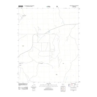
2011 Map of Mesa Portales
USGS Topo · Published 2011About this map
Mesa Portales and Fork Rock Mesa dominate this high-desert landscape in Sandoval County, characterized by a complex drainage system and water management infrastructure. The terrain is marked by numerous arroyos, including Arroyo Chijullita and Kinaird Arroyo, which flow through the dry valleys. The settlement of Johnson is situated near the northern reach of the quadrangle, while evidence of land use and resource exploration appears at the Houston Prospect to the east.
Find a feature on this map
15 named features on this map. Tap any name to fly to it.
Don’t see what you’re looking for? This feature index may not catch every label — zoom into the map to look around manually.
Map Details
Editions of this 2011 Mesa Portales Map
This is the sole edition of this map. No revisions or reprints were ever made.
Other maps of this area

1883 · Mt. Taylor
USGS Topo · 1:250,000

1886 · Mt. Taylor
USGS Topo · 1:250,000

1889 · Largo
USGS Topo · 1:250,000

1890 · Jemes
USGS Topo · 1:125,000

1892 · Jemes
USGS Topo · 1:125,000

1892 · Mt. Taylor
USGS Topo · 1:250,000

1895 · Largo
USGS Topo · 1:250,000

1899 · Mt. Taylor
USGS Topo · 1:250,000

1909 · Gallina
USGS Topo · 1:125,000

1939 · La Ventana
USGS Topo · 1:62,500