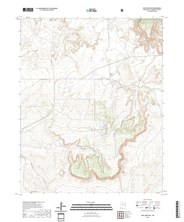
2023 Map of Mesa Portales
USGS Topo · Published 2023About this map
Mesa Portales and Mesa Chijuilla anchor this high-elevation landscape in Sandoval County, where drainage systems like Arroyo Chijuilla and Kinaird Arroyo have carved deep relief into the terrain. The northern boundary touches the Santa Fe National Forest, while the famed Continental Divide National Scenic Trl winds its way north to south through the eastern half of the region. Local hydrology is marked by numerous named water sources, such as Smoky Spring, Moreno Spring, and Ojo de Gutierrez, which historically served as vital points for travelers and livestock in an otherwise arid environment. Evidence of human infrastructure is centered around roads such as Chijuilla Rd 1101 and W Valle San Ysidro St, providing access across these expansive mesas including Fork Rock Mesa and Mesa de Cuba.
Find a feature on this map
26 named features on this map. Tap any name to fly to it.
Don’t see what you’re looking for? This feature index may not catch every label — zoom into the map to look around manually.
Map Details
Editions of this 2023 Mesa Portales Map
This is the sole edition of this map. No revisions or reprints were ever made.
Other maps of this area

1883 · Mt. Taylor
USGS Topo · 1:250,000

1886 · Mt. Taylor
USGS Topo · 1:250,000

1889 · Largo
USGS Topo · 1:250,000

1890 · Jemes
USGS Topo · 1:125,000

1892 · Jemes
USGS Topo · 1:125,000

1892 · Mt. Taylor
USGS Topo · 1:250,000

1895 · Largo
USGS Topo · 1:250,000

1899 · Mt. Taylor
USGS Topo · 1:250,000

1909 · Gallina
USGS Topo · 1:125,000

1939 · La Ventana
USGS Topo · 1:62,500