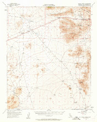
1955 Map of Mescal Range
USGS Topo · Published 1963About this map
Mining operations and remote desert outposts define this 1955 survey of the Mescal Range and its surroundings. The high-altitude pass at Mountain Pass serves as a focal point for extraction, situated near the Sulphide Queen Mine and the Birthday Mine. The landscape is a study in Mojave geography, transitioning from the sharp elevations of Teutonia Peak to the arid expanse of Piute Valley.
Find a feature on this map
45 named features on this map. Tap any name to fly to it.
Don’t see what you’re looking for? This feature index may not catch every label — zoom into the map to look around manually.
Map Details
Editions of this 1955 Mescal Range Map
3 editions found
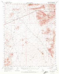
Other maps of this area

1910 · Ivanpah
USGS Topo · 1:250,000

1912 · Ivanpah
USGS Topo · 1:250,000

1942 · Ivanpah
USGS Topo · 1:250,000

1947 · Kingman
USGS Topo · 1:250,000

1948 · Kingman
USGS Topo · 1:250,000

1954 · Kingman
USGS Topo · 1:250,000

1955 · Kingman
USGS Topo · 1:250,000

1955 · Kingston Peak
USGS Topo · 1:62,500

1955 · Mescal Range
USGS Topo · 1:62,500

1955 · Roach Lake
USGS Topo · 1:62,500