Loading...
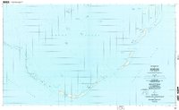
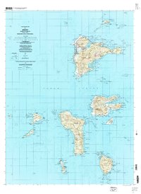
Loading map...1996 Map of Meseong
USGS Topo · Published 2004About this map
Meseong and the surrounding coral atoll structures of the Chuuk Lagoon are detailed in this survey, which integrates decades of geographic data. While the topography was compiled in the late 1960s, the planimetry reflects the mid-1990s landscape of these Pacific islands. The map tracks a series of narrow landforms and reefs, including Sanat, Wisas, and Fanan, which form a protective barrier between the lagoon and the open Pacific Ocean.
Find a feature on this map
43 named features on this map. Tap any name to fly to it.
Don’t see what you’re looking for? This feature index may not catch every label — zoom into the map to look around manually.
Map Details
Date Portrayed1996
Date Published2004
PublisherU.S. Geological Survey
Map TypeTopographic
Scale1:25,000
Physical Dimensions43.7 x 26.9 inches
Editions of this 1996 Meseong Map
This is the sole edition of this map. No revisions or reprints were ever made.
Other maps of this area
Featured Places
Source Details
SourceU.S. Geological Survey
CopyrightPublic Domain