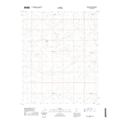
2020 Map of Mesita Americana
USGS Topo · Published 2020About this map
Mesita Americana stands as the central topographic landmark in this high-desert region of McKinley County. The landscape is defined by an intricate network of seasonal drainage channels, including the Arroyo Lucero, Arroyo Calladito, and the N Fork Arroyo Chico to the north. These arroyos carve deep paths through the terrain, illustrating the hydrological patterns of this arid New Mexico environment. Ranching and land management infrastructure is evident through features such as Calladito Tank and Lower Calladito Tank, which provide essential water catchments in a territory largely defined by its drainages like the Arroyo Alfredo Padilla. Access through this remote area is maintained by county routes, specifically Co RD 19 and Co RD 9, which navigate the elevation changes surrounding the mesa. The map provides a detailed view of the Public Land Survey System divisions, showing the grid of townships and ranges that organized the settlement and mineral rights of the American Southwest.
Find a feature on this map
15 named features on this map. Tap any name to fly to it.
Don’t see what you’re looking for? This feature index may not catch every label — zoom into the map to look around manually.
Map Details
Editions of this 2020 Mesita Americana Map
This is the sole edition of this map. No revisions or reprints were ever made.
Other maps of this area

1883 · Mt. Taylor
USGS Topo · 1:250,000

1886 · Mt. Taylor
USGS Topo · 1:250,000

1892 · Mt. Taylor
USGS Topo · 1:250,000

1899 · Mt. Taylor
USGS Topo · 1:250,000

1958 · Albuquerque
USGS Topo · 1:250,000

1961 · El Dado
USGS Topo · 1:24,000

1961 · Piedra De La Aguila
USGS Topo · 1:24,000

1961 · Whitehorse Rincon
USGS Topo · 1:24,000

1961 · Whitehorse
USGS Topo · 1:24,000

1961 · Mesita Del Gavilan
USGS Topo · 1:24,000