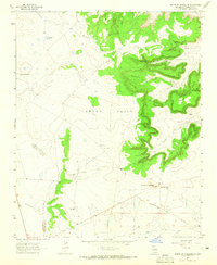
1963 Map of Mesita De Guadalupe
USGS Topo · Published 1965About this map
Anton Chico dominates this high-plains landscape in Guadalupe County, captured just as mid-century infrastructure began to mark the open range. The terrain is defined by dramatic escarpments and canyon systems, including Cañada de Arriba and Cañada de Abajo, which drain toward the south. Scattered ranching and utility sites like Moon Ranch, Cowden, and the Telephone Tank water hole indicate a sparse but established presence in the region. Modern additions to the landscape are visible through several pipelines and a cluster of Radio Towers, while local industry is represented by a small Quarry near the center of the sheet. The map also traces traditional water sources such as Agua de los Juanes and Frog Tank, which were essential for sustaining livestock in this arid environment before the expansion of more permanent rural development.
Find a feature on this map
17 named features on this map. Tap any name to fly to it.
Don’t see what you’re looking for? This feature index may not catch every label — zoom into the map to look around manually.
Map Details
Editions of this 1963 Mesita De Guadalupe Map
This is the sole edition of this map. No revisions or reprints were ever made.
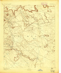
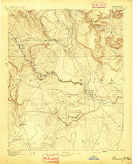
Other maps of this area

1890 · Bernal
USGS Topo · 1:125,000

1891 · Bernal
USGS Topo · 1:125,000

1892 · Corazon
USGS Topo · 1:125,000
1894 · Corazon
USGS Topo · 1:125,000
1894 · Bernal
USGS Topo · 1:125,000

1954 · Santa Fe
USGS Topo · 1:250,000

1954 · Fort Sumner
USGS Topo · 1:250,000

1958 · Fort Sumner
USGS Topo · 1:250,000

1958 · Santa Fe
USGS Topo · 1:250,000
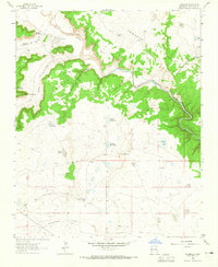
1963 · Colonias
USGS Topo · 1:24,000