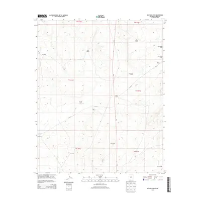
2013 Map of Mesita De Yeso
USGS Topo · Published 2013About this map
Mesita De Yeso rises above a landscape defined by the essential infrastructure of high-desert ranching. This portion of Cibola County relies on a network of water sources, identified here through family-named and descriptive landmarks like the High Lonesome Windmill, Trujillo Windmill, and Red Windmill. The map records a sparse settlement pattern where roads like CO Road 32 and CO Road 33 navigate a complex drainage system. Notable natural features include the deep incision of Guillermo Canyon and the broad Cañon Ancho, which channel seasonal water through the region. Several intermittent watercourses, such as Trujillo Draw and Ojo Hallado Draw, underscore the importance of the distributed windmills for livestock and habitation in this arid corner of New Mexico during the early twenty-first century.
Find a feature on this map
22 named features on this map. Tap any name to fly to it.
Don’t see what you’re looking for? This feature index may not catch every label — zoom into the map to look around manually.
Map Details
Editions of this 2013 Mesita De Yeso Map
This is the sole edition of this map. No revisions or reprints were ever made.
Other maps of this area

1954 · Saint Johns
USGS Topo · 1:250,000

1957 · Saint Johns
USGS Topo · 1:250,000

1958 · Saint Johns
USGS Topo · 1:250,000

1962 · Saint Johns
USGS Topo · 1:250,000
1972 · Upper Galestina Canyon
USGS Topo · 1:24,000
1972 · Plumasano Basin
USGS Topo · 1:24,000

1972 · Fence Lake
USGS Topo · 1:24,000
1972 · The Dyke
USGS Topo · 1:24,000
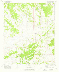
1972 · Mesita De Yeso
USGS Topo · 1:24,000
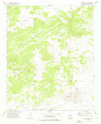
1972 · Atarque Lake
USGS Topo · 1:24,000