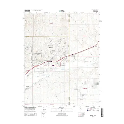
2014 Map of Mesquite
USGS Topo · Published 2014About this map
The Virgin River provides the lifeblood for this desert landscape, where the tri-state border region of Nevada, Arizona, and Utah meets. In this 2014 edition, the city of Mesquite is shown in a state of significant modern expansion, with its suburban street network climbing into the hills toward Flat Top Mesa and north of the Mesquite Airport. The map documents a complex system of water management essential for desert habitation, including the Mesquite Ditch and Bunkerville Ditch, which parallel the river's course. To the southwest, the settlement of Bunkerville sits near the base of the Virgin Mountains, while Scenic marks the Arizona side of the border. This survey captures the transition of the Mojave Desert from a rural agricultural valley into a regional hub, defined by the contrast between organized residential developments like those along Falcon Ridge Pky and the seasonal drainage patterns of Abbott Wash and Town Wash.
Find a feature on this map
119 named features on this map. Tap any name to fly to it.
Don’t see what you’re looking for? This feature index may not catch every label — zoom into the map to look around manually.
Map Details
Editions of this 2014 Mesquite Map
This is the sole edition of this map. No revisions or reprints were ever made.
Other maps of this area

1886 · Saint Thomas
USGS Topo · 1:250,000

1886 · Mt. Trumbull
USGS Topo · 1:250,000

1892 · Mt. Trumbull
USGS Topo · 1:250,000

1893 · Saint Thomas
USGS Topo · 1:250,000

1953 · Grand Canyon
USGS Topo · 1:250,000

1954 · Las Vegas
USGS Topo · 1:250,000

1954 · Littlefield
USGS Topo · 1:62,500

1954 · Cane Springs
USGS Topo · 1:62,500

1957 · Las Vegas
USGS Topo · 1:250,000

1957 · Grand Canyon
USGS Topo · 1:250,000